Medium airport · Colombia
Alfonso López Pumarejo AirportSKVP
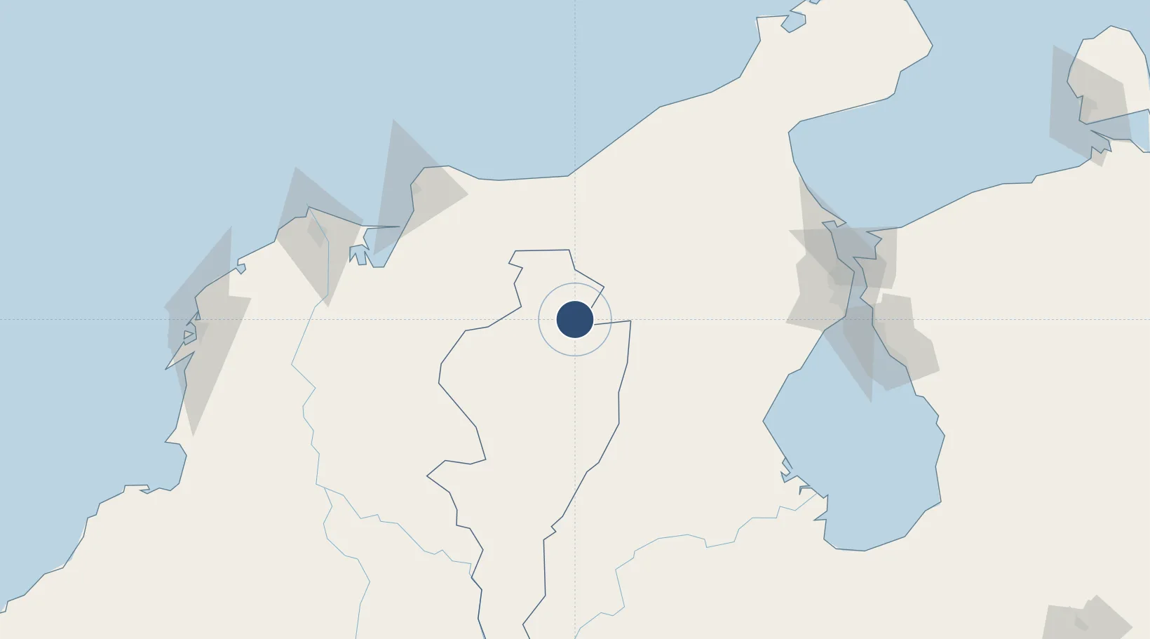
10.4350°, -73.2495°
6,890 ft
Longest runway
1
Runways
483 ft
Elevation
Runway & Layout

Radio Frequencies
TWR
118 MHz
RDO
348.8 MHz
VALLEDUPAR RDO
Navaids
VUP NDB Valledupar 325 kHz
VVP VOR-DME Valledupar 114.60 MHz
Runways · 1
| Runway | Dimensions | Surface | True heading | Lit |
|---|---|---|---|---|
| 02/20 | 6,890 × 115ft | Asphalt | 010° | ✓ |
Airport Specifications
IATA code
VUP
ICAO code
SKVP
Airport class
Medium airport
Scheduled service
Yes
Runway surface
Asphalt
Served city
Valledupar
Location
Nearby Logistics Neighbours
Airports
- 1Jorge Isaac Airport121 km
- 2Almirante Padilla Airport126 km
- 3Simón Bolívar International Airport132 km
- 4La Chinita International Airport167 km
- 5Las Flores Airport174 km
Cities
- 1Mingueo87 km
- 2La Jagua de Ibirico99 km
- 3Santa Marta139 km
- 4Puerto Bolívar165 km
- 5Manaure173 km
Ports
- 1Puerto Prodeco132 km
- 2Pozos Colorados135 km
- 3Santa Marta139 km
- 4Barranquilla176 km
- 5Bajo Grande177 km
Trade Zones
- 1Brisa Free Trade Zone92 km
- 2Zona Franca Las Américas132 km
- 3Tayrona Free Trade Zone133 km
- 4Zona Franca de Santa Marta134 km
- 5Free Zone ATUJA169 km
DatabookThe Record of Consolidated Knowledge
Colombia beyond logistics?