Free Industrial Zone · Colombia

Brisa Free Trade Zone Active
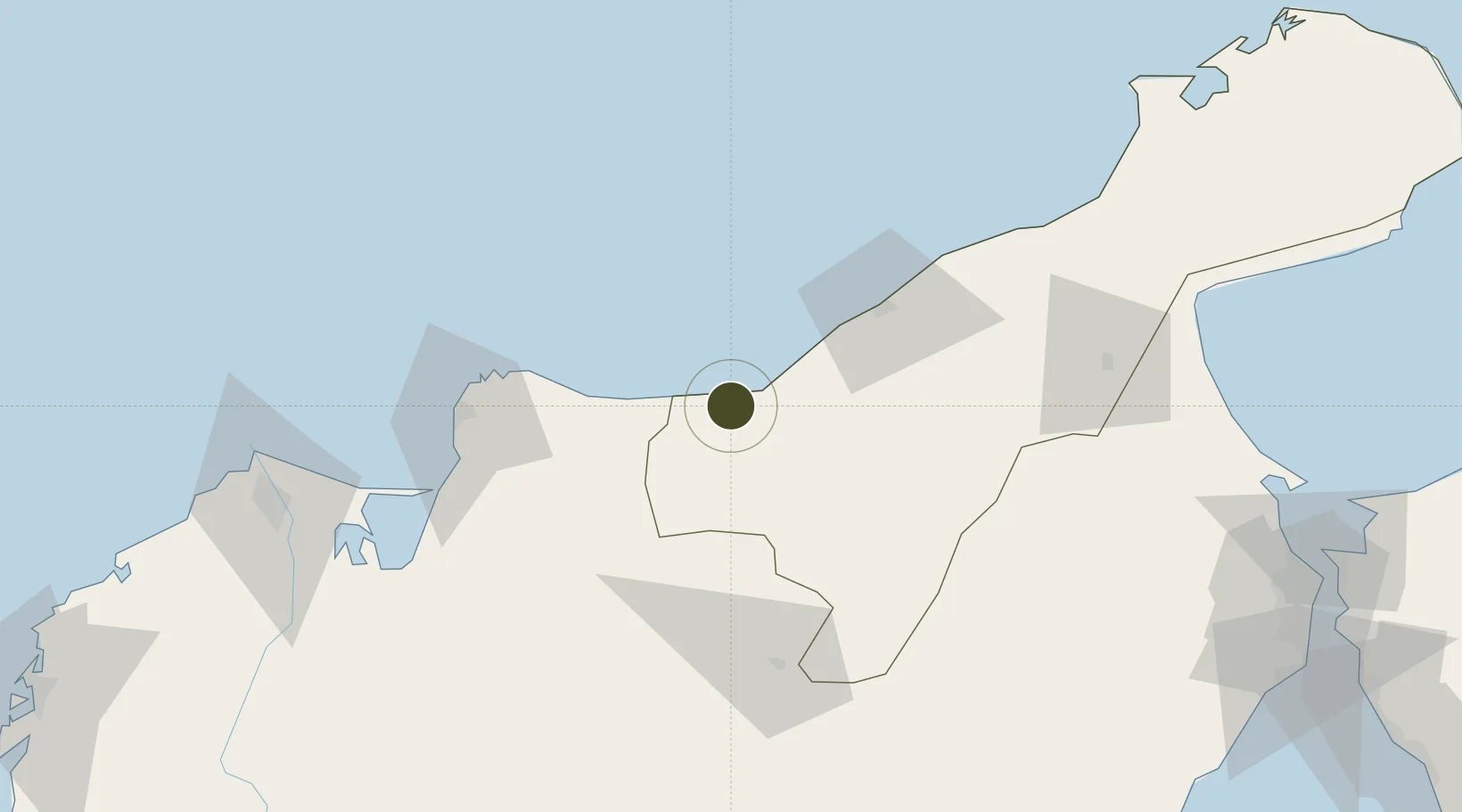
11.2471°, -73.3877°
32 ha
Zone area
90.4 km
Nearest port
59.1 km
Nearest airport

Gateway access

Nearest neighbours — logibook spatial index (haversine) over the source coordinates

Zone profile

Zone type
Free Industrial Zone
the World Bank SEZ database
Region
La Guajira
the World Bank SEZ database
Status
Active
the World Bank SEZ database
Established
2010
the World Bank SEZ database
Management
Private management
the World Bank SEZ database
Operator
Zona Franca Brisa S.A.
the World Bank SEZ database
Regulatory authority
Comision Intersectorial de Zonas Francas
the World Bank SEZ database
Legal framework
Law 1004/2005 Decree 383 and 4051
the World Bank SEZ database

Location

Location of COL14
Natural Earth 10m (public domain) · La Guajira · COL14 · 11.25, -73.39GoogleOSMYandex

Fiscal & incentives

Corporate tax
25%
the World Bank SEZ database
Tax relief
Reduced fixed-rate at 20%
the World Bank SEZ database
Relief duration
Perpetual
the World Bank SEZ database
VAT
No exemption
the World Bank SEZ database
Import duty (inputs)
100% exempt
the World Bank SEZ database
Import duty (capex)
100% exempt
the World Bank SEZ database
Profit repatriation
No exemption
the World Bank SEZ database
Capital gains
No exemption
the World Bank SEZ database
Withholding tax
No exemption
the World Bank SEZ database
Min. investment
$0 - $2.4M in first three years depending on size of company assets
the World Bank SEZ database
Min. export
0%
the World Bank SEZ database
Employment incentive
No exemption
the World Bank SEZ database
Developer incentive
Yes
the World Bank SEZ database

Nearby Logistics Neighbours

Ports
  1. 1Santa Marta90 km
  2. 2Puerto Prodeco91 km
  3. 3Pozos Colorados95 km
  4. 4Barranquilla154 km
  5. 5Puerto Bolivar191 km
Nearest neighbours — logibook spatial index (haversine) over the source coordinates
Airports
  1. 1Almirante Padilla Airport59 km
  2. 2Alfonso López Pumarejo Airport92 km
  3. 3Simón Bolívar International Airport93 km
  4. 4Jorge Isaac Airport98 km
  5. 5Ernesto Cortissoz International Airport157 km
Nearest neighbours — logibook spatial index (haversine) over the source coordinates
Cities
  1. 1Mingueo5 km
  2. 2Santa Marta90 km
  3. 3Manaure119 km
  4. 4Barranquilla154 km
  5. 5Puerto Bolívar160 km
Nearest neighbours — logibook spatial index (haversine) over the source coordinates
Trade Zones
  1. 1Zona Franca Las Américas85 km
  2. 2Zona Franca de Santa Marta88 km
  3. 3Tayrona Free Trade Zone88 km
  4. 4Zona Franca Palermo152 km
  5. 5Barranquilla Free Trade Zone153 km
Nearest neighbours — logibook spatial index (haversine) over the source coordinates
DatabookThe Record of Consolidated Knowledge
Colombia beyond logistics?
Browse databook

All Sources

Trade Zonesthe World Bank SEZ database
CC BY 4.0
Portsthe NGA World Port Index
Public domain (US gov)
AirportsOurAirports
Public domain
LocationsUN/LOCODE
UN/LOCODE — free
← Colombia trade zones