UN/LOCODE hub · Colombia
COBAQ
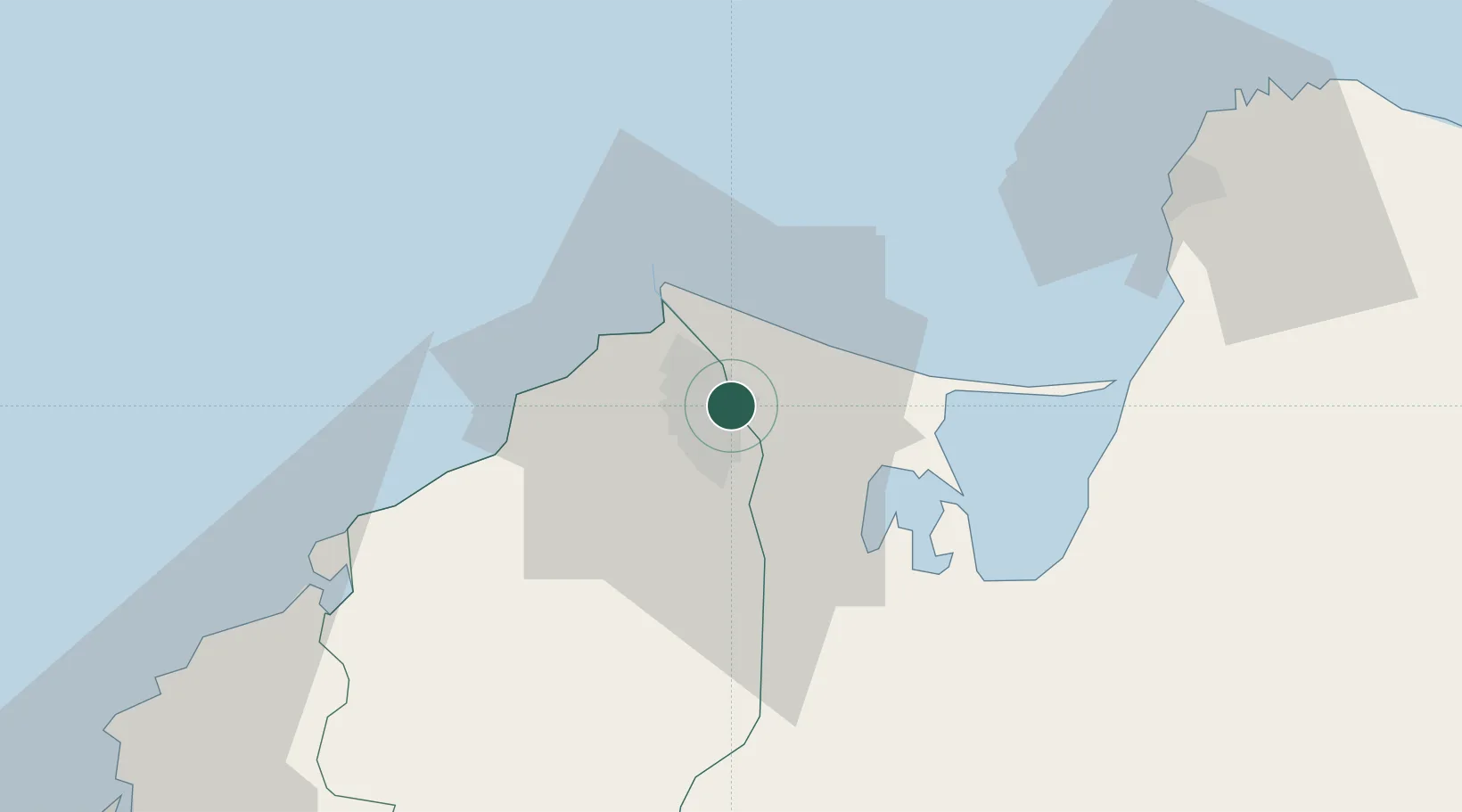
Barranquilla
10.9602°, -74.7637°
1,206,319
Population
3
Transport functions
3
Container terminals
Transport Functions
Port
Airport
Postal
Hub Profile
Place type
Regional capital
Region
Atlántico
Population
1,206,319
Time zone
America/Bogota
Elevation
24 m
Logistics facilities
7
Container terminals
3
Location
Nearby Logistics Neighbours
Cities
- 1Galapa15 km
- 2Puerto Colombia21 km
- 3Puerto Bolívar31 km
- 4Santa Marta68 km
- 5Turbaco100 km
Ports
- 1Pozos Colorados60 km
- 2Puerto Prodeco63 km
- 3Santa Marta68 km
- 4Cartagena104 km
- 5El Bosque105 km
Airports
Trade Zones
DatabookThe Record of Consolidated Knowledge
Colombia beyond logistics?