Transport Functions
Rail
Road
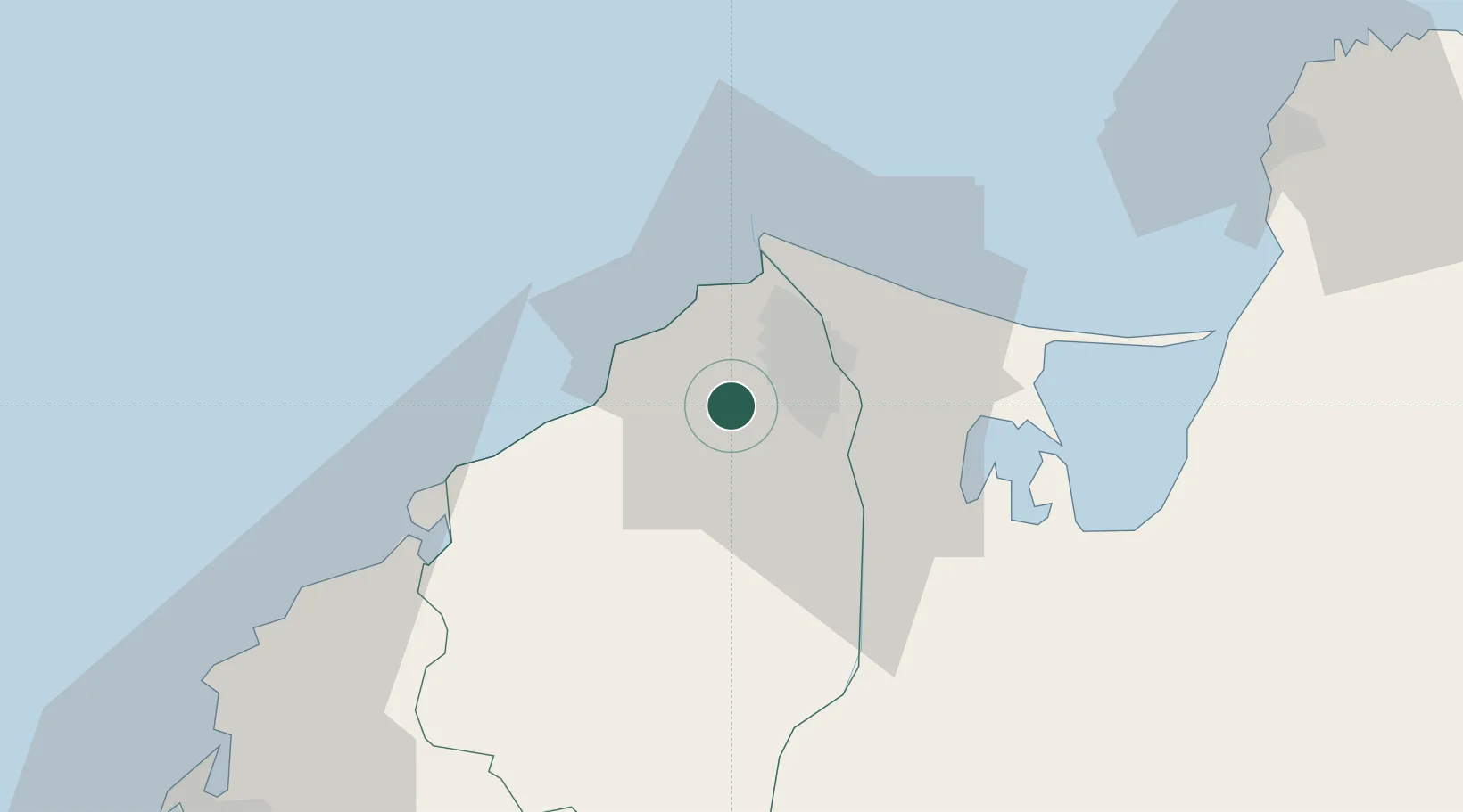
Hub Profile
Place type
Provincial seat
Region
Atlántico
Population
19,732
Time zone
America/Bogota
Elevation
92 m
Location
Nearby Logistics Neighbours
Cities
- 1Puerto Colombia13 km
- 2Barranquilla15 km
- 3Puerto Bolívar29 km
- 4Santa Marta83 km
- 5Turbaco86 km
Ports
- 1Barranquilla15 km
- 2Pozos Colorados75 km
- 3Puerto Prodeco78 km
- 4Santa Marta83 km
- 5Cartagena89 km
Airports
Trade Zones
DatabookThe Record of Consolidated Knowledge
Colombia beyond logistics?