Large airport · Colombia

Ernesto Cortissoz International AirportSKBQ
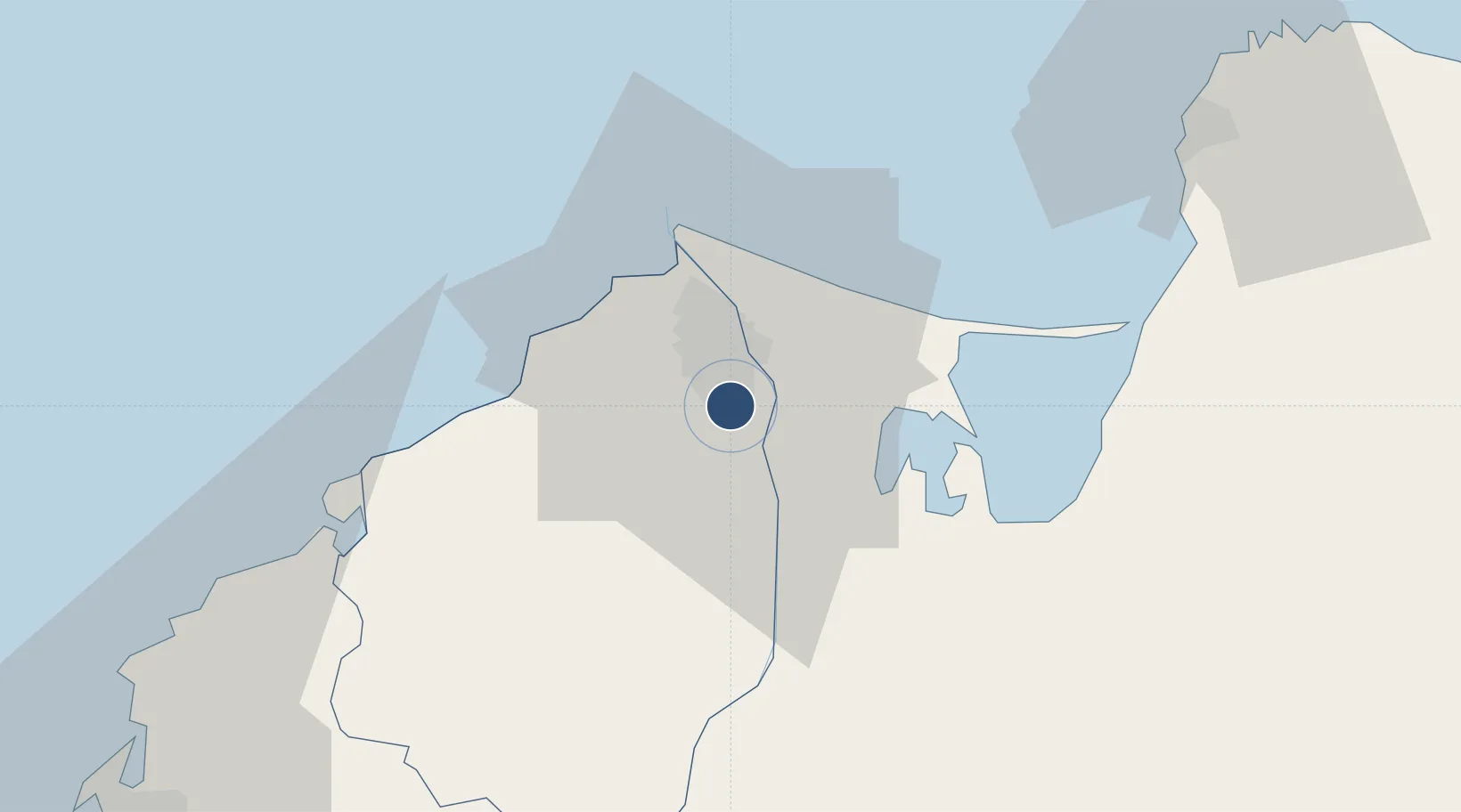
10.8896°, -74.7808°
9,842 ft
Longest runway
1
Runways
98 ft
Elevation

Runway & Layout

Ernesto Cortissoz International Airport runway & taxiway layout
Runway & taxiway layout — OpenStreetMap (ODbL) / OurAirports

Radio Frequencies

ATIS
113.7 MHz
TWR
118.1 MHz
GND
121.9 MHz
APP
119.1 MHz
BARRANQUILLA APP
RDO
348.8 MHz
BARRANQUILLA RDO
OurAirports

Navaids

AQ NDB Barranquilla 264 kHz
BAQ VOR-DME Barranquilla 113.70 MHz
OurAirports

Runways · 1

RunwayDimensions SurfaceTrue headingLit
05/23 9,842 × 148ft Concrete 040°
OurAirports

Airport Specifications

IATA code
BAQ
OurAirports
ICAO code
SKBQ
OurAirports
Airport class
Large airport
OurAirports
Scheduled service
Yes
OurAirports
Runway surface
Concrete
OurAirports
Served city
Barranquilla
OurAirports

Location

Location of SKBQ
Natural Earth 10m (public domain) · Atlántico · SKBQ · 10.89, -74.78GoogleOSMYandex

Nearby Logistics Neighbours

Airports
  1. 1Simón Bolívar International Airport65 km
  2. 2Rafael Nuñez International Airport94 km
  3. 3Alfonso López Pumarejo Airport175 km
  4. 4Golfo de Morrosquillo Airport177 km
  5. 5Baracoa Airport179 km
Nearest neighbours — logibook spatial index (haversine) over the source coordinates
Cities
  1. 1Barranquilla8 km
  2. 2Galapa11 km
  3. 3Puerto Colombia22 km
  4. 4Puerto Bolívar24 km
  5. 5Santa Marta74 km
Nearest neighbours — logibook spatial index (haversine) over the source coordinates
Ports
  1. 1Barranquilla9 km
  2. 2Pozos Colorados65 km
  3. 3Puerto Prodeco68 km
  4. 4Santa Marta74 km
  5. 5Cartagena98 km
Nearest neighbours — logibook spatial index (haversine) over the source coordinates
Trade Zones
  1. 1Barranquilla Free Trade Zone8 km
  2. 2Zona Franca Palermo9 km
  3. 3Atlantico International Free Trade Zone10 km
  4. 4La Cayena Free Trade Zone16 km
  5. 5Clinica Portoazul16 km
Nearest neighbours — logibook spatial index (haversine) over the source coordinates
DatabookThe Record of Consolidated Knowledge
Colombia beyond logistics?
Browse databook

All Sources

AirportsOurAirports
Public domain
Portsthe NGA World Port Index
Public domain (US gov)
LocationsUN/LOCODE
UN/LOCODE — free
Trade Zonesthe World Bank SEZ database
CC BY 4.0
Trade ZonesOpen Zone Map
CC BY
InfrastructureOpenStreetMap
ODbL 1.0
← Colombia airports