Medium airport · Colombia

Simón Bolívar International AirportSKSM
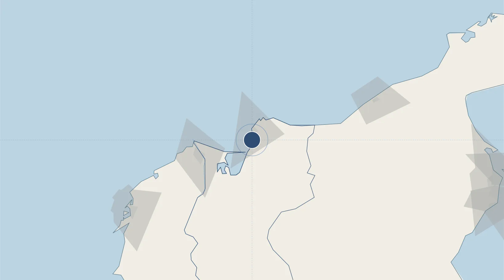
11.1196°, -74.2306°
5,577 ft
Longest runway
1
Runways
22 ft
Elevation

Runway & Layout

Simón Bolívar International Airport runway & taxiway layout
Runway & taxiway layout — OpenStreetMap (ODbL) / OurAirports

Radio Frequencies

TWR
118.7 MHz
APP
119.1 MHz
BARRANQUILLA APP
OurAirports

Navaids

SMR NDB Santa Marta 287 kHz
STA VOR-DME Santa Marta 116.60 MHz
OurAirports

Runways · 1

RunwayDimensions SurfaceTrue headingLit
01/19 5,577 × 131ft Asphalt 359°
OurAirports

Airport Specifications

IATA code
SMR
OurAirports
ICAO code
SKSM
OurAirports
Airport class
Medium airport
OurAirports
Scheduled service
Yes
OurAirports
Runway surface
Asphalt
OurAirports
Served city
Santa Marta
OurAirports

Location

Location of SKSM
Natural Earth 10m (public domain) · Magdalena · SKSM · 11.12, -74.23GoogleOSMYandex

Nearby Logistics Neighbours

Airports
  1. 1Ernesto Cortissoz International Airport65 km
  2. 2Alfonso López Pumarejo Airport132 km
  3. 3Almirante Padilla Airport149 km
  4. 4Rafael Nuñez International Airport159 km
  5. 5Jorge Isaac Airport190 km
Nearest neighbours — logibook spatial index (haversine) over the source coordinates
Cities
  1. 1Santa Marta15 km
  2. 2Barranquilla61 km
  3. 3Puerto Bolívar73 km
  4. 4Galapa75 km
  5. 5Puerto Colombia80 km
Nearest neighbours — logibook spatial index (haversine) over the source coordinates
Ports
  1. 1Puerto Prodeco4 km
  2. 2Pozos Colorados4 km
  3. 3Santa Marta15 km
  4. 4Barranquilla61 km
  5. 5Cartagena162 km
Nearest neighbours — logibook spatial index (haversine) over the source coordinates
Trade Zones
  1. 1Tayrona Free Trade Zone10 km
  2. 2Zona Franca de Santa Marta11 km
  3. 3Zona Franca Las Américas13 km
  4. 4Zona Franca Palermo60 km
  5. 5Barranquilla Free Trade Zone61 km
Nearest neighbours — logibook spatial index (haversine) over the source coordinates
DatabookThe Record of Consolidated Knowledge
Colombia beyond logistics?
Browse databook

All Sources

AirportsOurAirports
Public domain
Portsthe NGA World Port Index
Public domain (US gov)
LocationsUN/LOCODE
UN/LOCODE — free
Trade Zonesthe World Bank SEZ database
CC BY 4.0
Trade ZonesOpen Zone Map
CC BY
InfrastructureOpenStreetMap
ODbL 1.0
← Colombia airports