Medium airport · Colombia

Jorge Isaac AirportSKLM
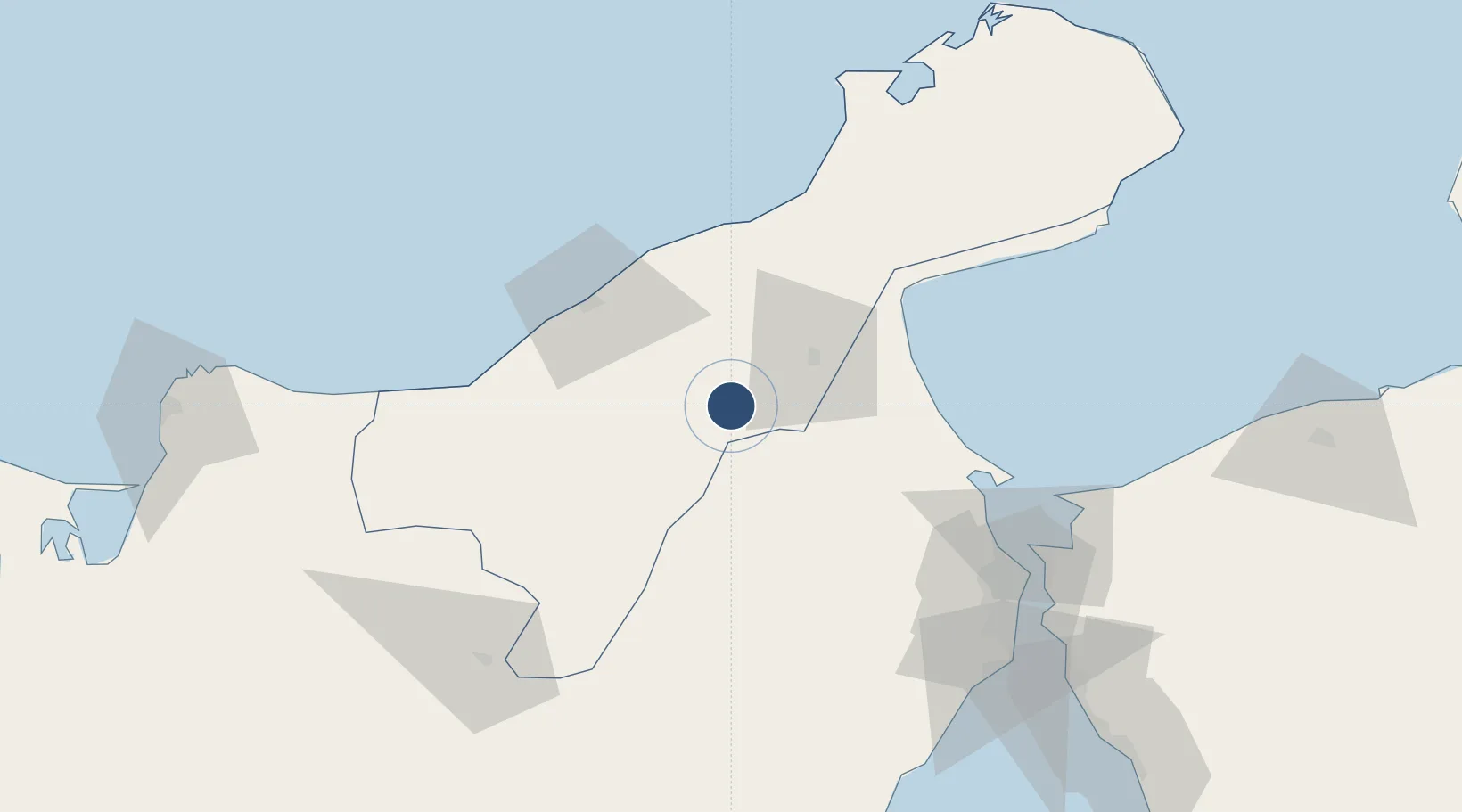
11.2325°, -72.4901°
4,876 ft
Longest runway
2
Runways
281 ft
Elevation

Runway & Layout

Jorge Isaac Airport runway & taxiway layout
Runway & taxiway layout — OpenStreetMap (ODbL) / OurAirports

Radio Frequencies

TWR
118.5 MHz
OurAirports

Navaids

CJN VOR-DME Cerrejon 113.40 MHz
CJN NDB Cerrejon 415 kHz
OurAirports

Runways · 2

RunwayDimensions SurfaceTrue headingLit
09/27 4,876 × 148ft Asphalt 090°
10/28 Unknown
OurAirports

Airport Specifications

IATA code
MCJ
OurAirports
ICAO code
SKLM
OurAirports
Airport class
Medium airport
OurAirports
Scheduled service
No
OurAirports
Runway surface
Asphalt
OurAirports
Served city
La Mina-Maicao
OurAirports

Location

Location of SKLM
Natural Earth 10m (public domain) · La Guajira · SKLM · 11.23, -72.49GoogleOSMYandex

Nearby Logistics Neighbours

Airports
  1. 1Almirante Padilla Airport58 km
  2. 2La Chinita International Airport112 km
  3. 3Alfonso López Pumarejo Airport121 km
  4. 4Simón Bolívar International Airport190 km
  5. 5Ernesto Cortissoz International Airport253 km
Nearest neighbours — logibook spatial index (haversine) over the source coordinates
Cities
  1. 1Manaure60 km
  2. 2Mingueo99 km
  3. 3Maracaibo117 km
  4. 4Chiquinquirá129 km
  5. 5Santa Marta188 km
Nearest neighbours — logibook spatial index (haversine) over the source coordinates
Ports
  1. 1Punta De Palmas111 km
  2. 2Puerto Miranda113 km
  3. 3El Tabiazo117 km
  4. 4Maracaibo118 km
  5. 5Bajo Grande123 km
Nearest neighbours — logibook spatial index (haversine) over the source coordinates
Trade Zones
  1. 1Brisa Free Trade Zone98 km
  2. 2Free Zone ATUJA114 km
  3. 3Zona Franca Las Américas183 km
  4. 4Tayrona Free Trade Zone186 km
  5. 5Zona Franca de Santa Marta186 km
Nearest neighbours — logibook spatial index (haversine) over the source coordinates
DatabookThe Record of Consolidated Knowledge
Colombia beyond logistics?
Browse databook

All Sources

AirportsOurAirports
Public domain
Portsthe NGA World Port Index
Public domain (US gov)
LocationsUN/LOCODE
UN/LOCODE — free
Trade Zonesthe World Bank SEZ database
CC BY 4.0
Trade ZonesOpen Zone Map
CC BY
InfrastructureOpenStreetMap
ODbL 1.0
← Colombia airports