Medium airport · Colombia

Almirante Padilla AirportSKRH
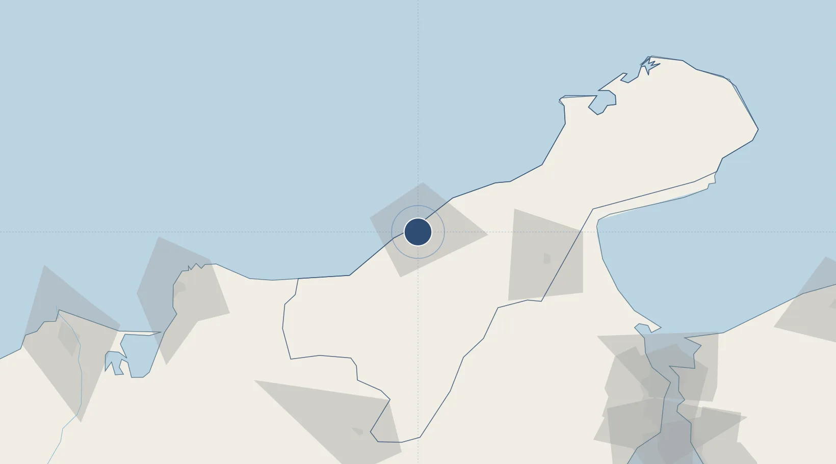
11.5262°, -72.9260°
5,413 ft
Longest runway
2
Runways
43 ft
Elevation

Runway & Layout

Almirante Padilla Airport runway & taxiway layout
Runway & taxiway layout — OpenStreetMap (ODbL) / OurAirports

Radio Frequencies

TWR
118.4 MHz
RDO
348.8 MHz
RIOHACHA RDO
OurAirports

Navaids

RHC VOR-DME Riohacha 117.10 MHz
OurAirports

Runways · 2

RunwayDimensions SurfaceTrue headingLit
09/27 5,413 × 98ft Asphalt 088°
10/28 Unknown
OurAirports

Airport Specifications

IATA code
RCH
OurAirports
ICAO code
SKRH
OurAirports
Airport class
Medium airport
OurAirports
Scheduled service
Yes
OurAirports
Runway surface
Asphalt
OurAirports
Served city
Riohacha
OurAirports

Location

Location of SKRH
Natural Earth 10m (public domain) · La Guajira · SKRH · 11.53, -72.93GoogleOSMYandex

Nearby Logistics Neighbours

Airports
  1. 1Jorge Isaac Airport58 km
  2. 2Alfonso López Pumarejo Airport126 km
  3. 3Simón Bolívar International Airport149 km
  4. 4La Chinita International Airport169 km
  5. 5Ernesto Cortissoz International Airport214 km
Nearest neighbours — logibook spatial index (haversine) over the source coordinates
Cities
  1. 1Manaure60 km
  2. 2Mingueo63 km
  3. 3Santa Marta144 km
  4. 4Maracaibo175 km
  5. 5Chiquinquirá186 km
Nearest neighbours — logibook spatial index (haversine) over the source coordinates
Ports
  1. 1Puerto Bolivar132 km
  2. 2Santa Marta144 km
  3. 3Puerto Prodeco147 km
  4. 4Pozos Colorados150 km
  5. 5Punta De Palmas168 km
Nearest neighbours — logibook spatial index (haversine) over the source coordinates
Trade Zones
  1. 1Brisa Free Trade Zone59 km
  2. 2Zona Franca Las Américas139 km
  3. 3Zona Franca de Santa Marta142 km
  4. 4Tayrona Free Trade Zone143 km
  5. 5Free Zone ATUJA172 km
Nearest neighbours — logibook spatial index (haversine) over the source coordinates
DatabookThe Record of Consolidated Knowledge
Colombia beyond logistics?
Browse databook

All Sources

AirportsOurAirports
Public domain
Portsthe NGA World Port Index
Public domain (US gov)
LocationsUN/LOCODE
UN/LOCODE — free
Trade Zonesthe World Bank SEZ database
CC BY 4.0
Trade ZonesOpen Zone Map
CC BY
InfrastructureOpenStreetMap
ODbL 1.0
← Colombia airports