Seaport · Colombia
BarranquillaCOBAQ
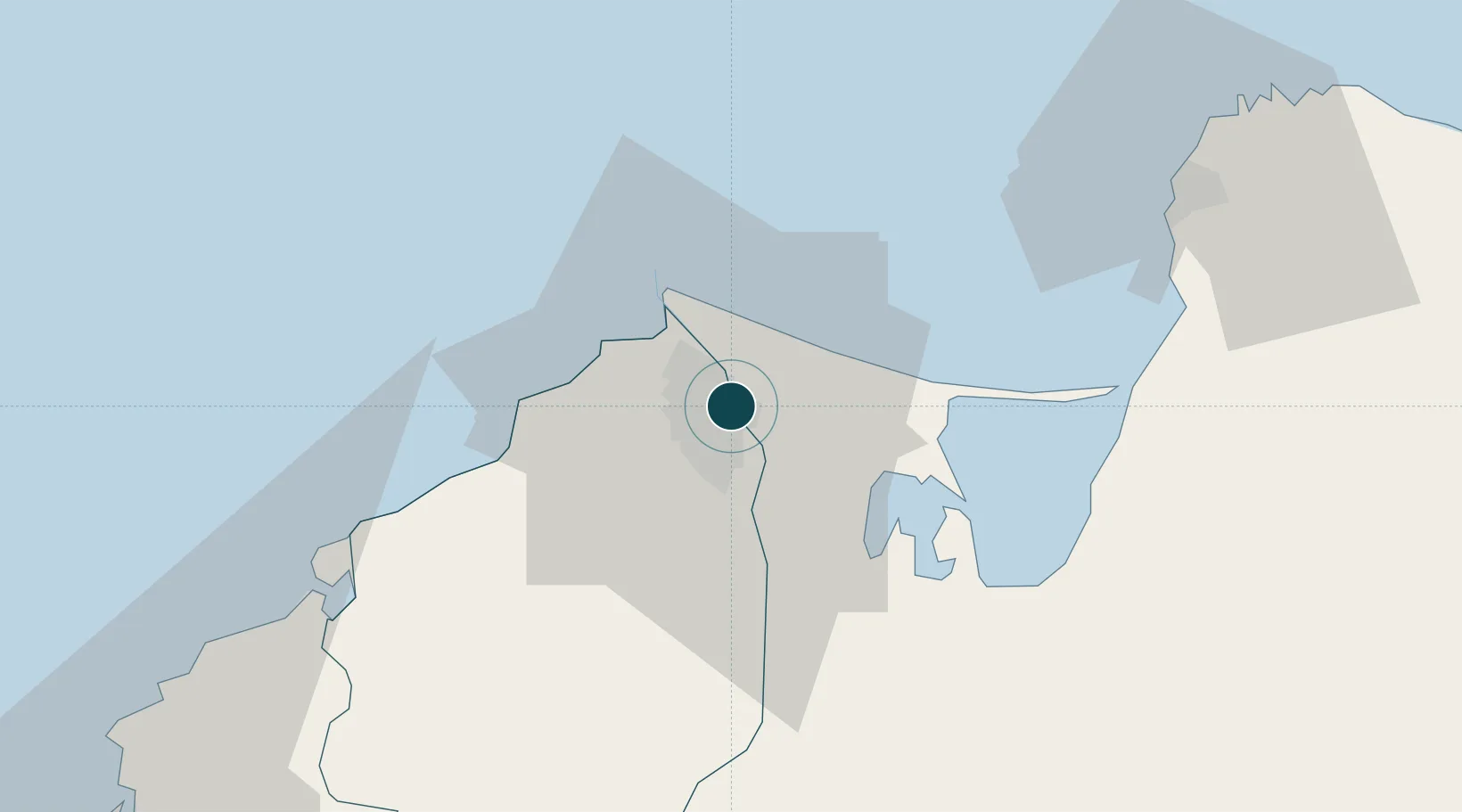
10.9667°, -74.7667°
7.9 m
Channel depth
3
Container terminals
77.9
Port liner connectivity
Channel & Berth Profile
Pilotage, Tugs & Services
Pilotage compulsoryYES
Pilotage availableYES
Pilotage advisableYES
Tug assistanceYES
Shore powerYES
Potable waterYES
Diesel bunkersYES
MedicalYES
Facilities & Capabilities
ContainerYES
Ro-Ro—
Liquid bulkYES
Dry bulkYES
Oil terminalYES
Break bulkYES
Dry dockNO
RepairsNO
BunkeringYES
Rail linkYES
Dangerous cargo—
ISPS securityYES
Harbour Specifications
Harbour size
Medium
Harbour type
River (Natural)
Shelter
Excellent
Water body
Caribbean Sea; North Atlantic Ocean
Tidal range
2 m
Overhead limit
Yes
Pilotage
Yes
Liner Connectivity
77.9
PLSCI
Port Liner Shipping Connectivity Index for Barranquilla, as published by UNCTAD for the latest available quarter. Higher values indicate stronger scheduled liner-shipping integration.
Shown relative to the highest per-port PLSCI in the dataset (1,657.9).
Location
Container Terminals · 3
BARRANQUILLA CONTAINER TERMINAL (BCT)
BCT
PALERMO SOCIEDAD PORTUARIA
PSP
SOCIEDAD PORTUARIA REGIONAL DE BARRANQUILLA
SPRBQ
Nearby Logistics Neighbours
Ports
- 1Pozos Colorados60 km
- 2Puerto Prodeco63 km
- 3Santa Marta68 km
- 4Cartagena104 km
- 5El Bosque105 km
Cities
- 1Galapa15 km
- 2Puerto Colombia20 km
- 3Puerto Bolívar32 km
- 4Santa Marta68 km
- 5Turbaco100 km
Airports
Trade Zones
DatabookThe Record of Consolidated Knowledge
Colombia beyond logistics?