Transport Functions
Port
Hub Profile
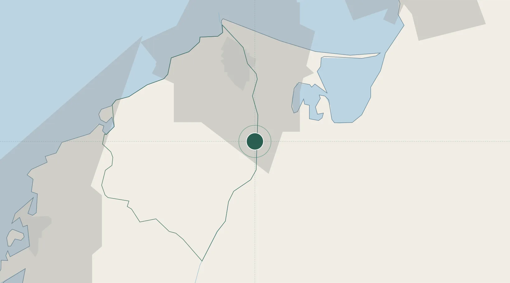
Place type
Populated place
Region
Atlántico
Time zone
America/Bogota
Elevation
3 m
Location
Nearby Logistics Neighbours
Cities
- 1Galapa29 km
- 2Barranquilla31 km
- 3Puerto Colombia42 km
- 4Turbaco84 km
- 5Santa Marta85 km
Ports
- 1Barranquilla32 km
- 2Pozos Colorados74 km
- 3Puerto Prodeco77 km
- 4Santa Marta85 km
- 5Cartagena92 km
Airports
Trade Zones
DatabookThe Record of Consolidated Knowledge
Colombia beyond logistics?