UN/LOCODE hub · Colombia
COEJA
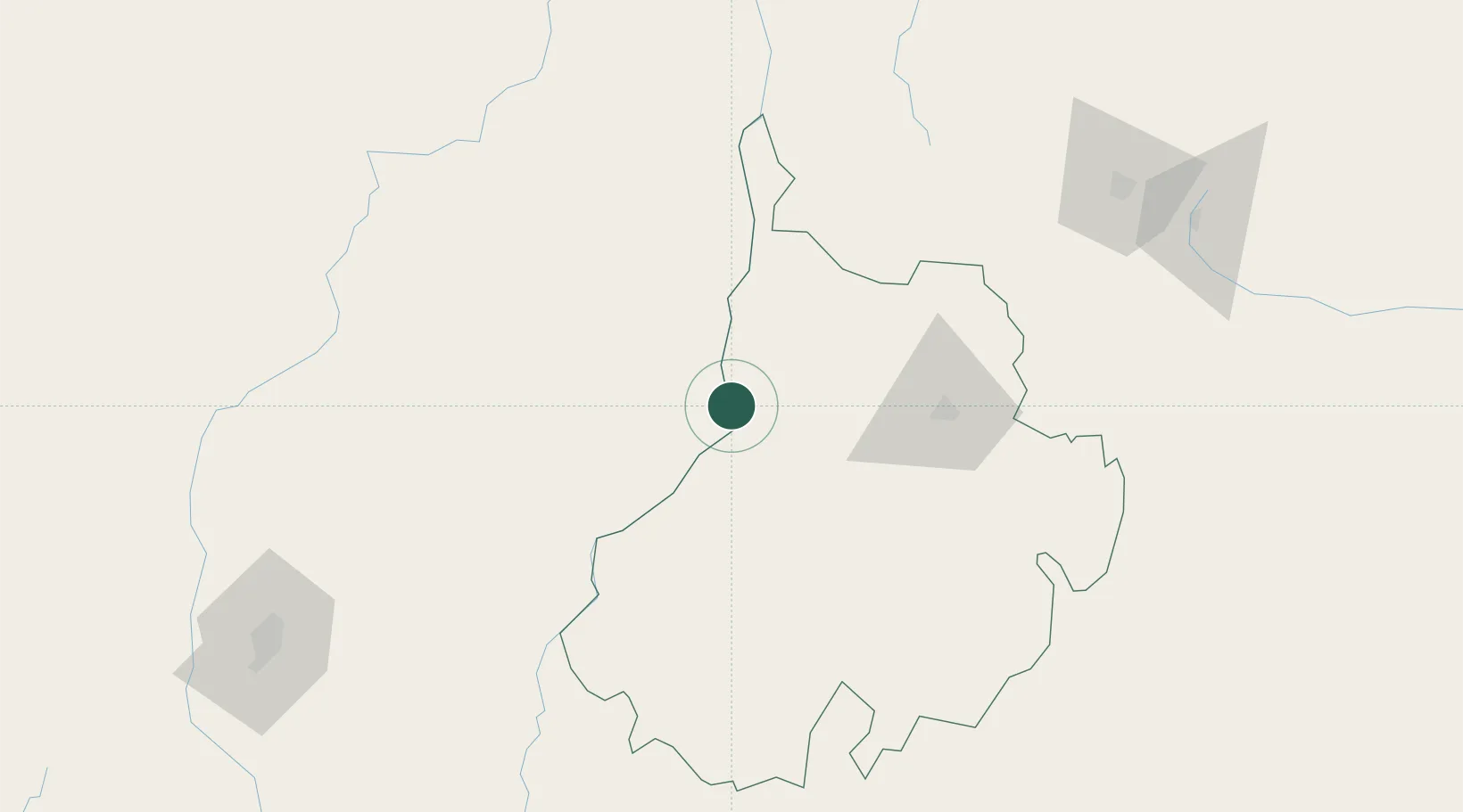
Barrancabermeja
7.1053°, -73.8989°
191,403
Population
2
Transport functions
1
Container terminals
Transport Functions
Port
Airport
Hub Profile
Place type
Provincial seat
Region
Santander Department
Population
191,403
Time zone
America/Bogota
Elevation
83 m
Logistics facilities
1
Container terminals
1
Location
Nearby Logistics Neighbours
Cities
- 1Puerto Boyaca161 km
- 2Ureña183 km
- 3Rionegro195 km
- 4El Poblado209 km
- 5Itagui215 km
Ports
- 1Covenas323 km
- 2Turbo331 km
- 3Covenas Offshore Term.334 km
- 4Mamonal399 km
- 5El Bosque408 km
Airports
- 1Yariguíes Airport14 km
- 2Palonegro Airport79 km
- 3El Bagre Airport114 km
- 4Aguas Claras Airport147 km
- 5Juan H White Airport172 km
Trade Zones
DatabookThe Record of Consolidated Knowledge
Colombia beyond logistics?