Medium airport · Colombia

Yariguíes AirportSKEJ
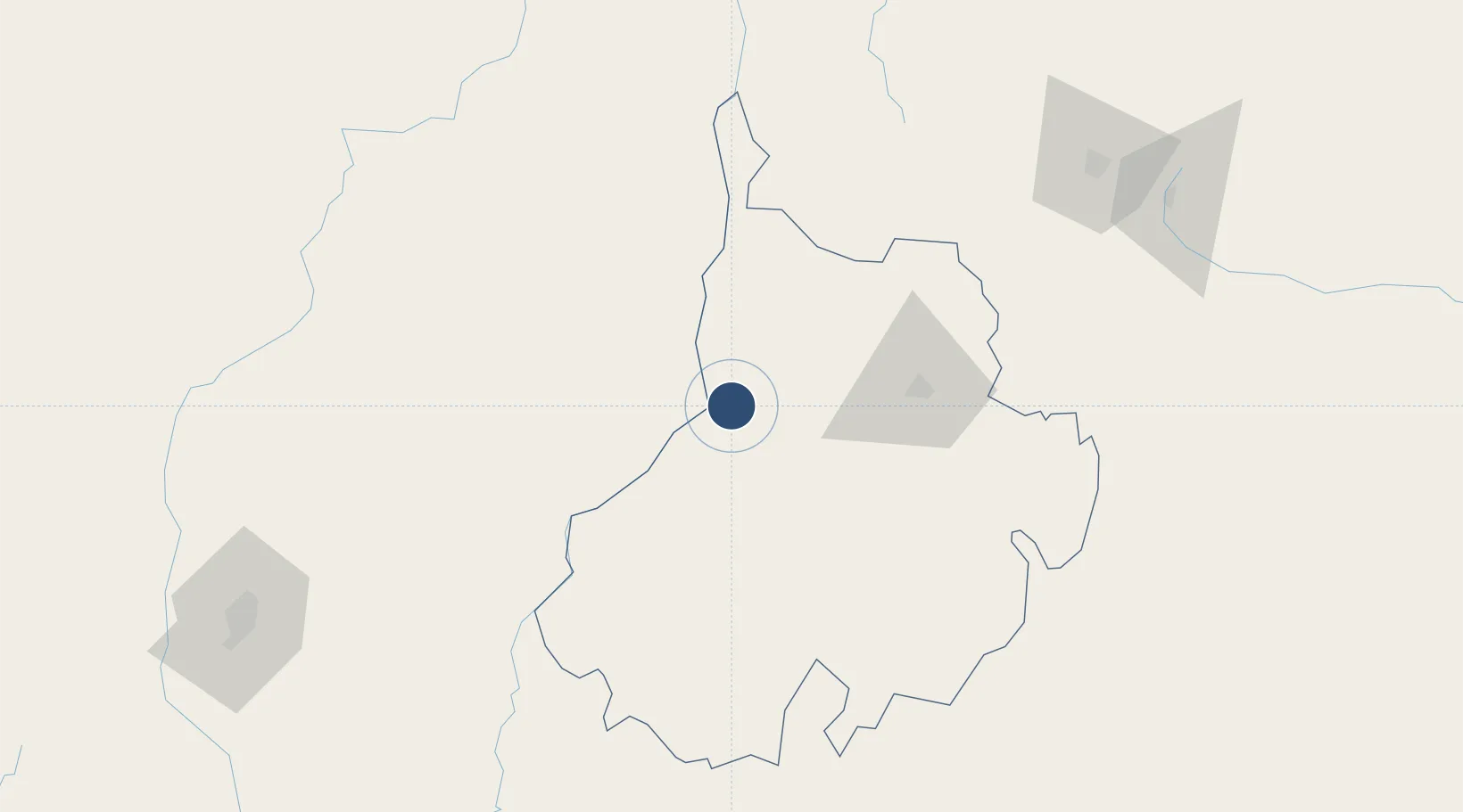
7.0243°, -73.8068°
5,905 ft
Longest runway
1
Runways
412 ft
Elevation

Runway & Layout

Yariguíes Airport runway & taxiway layout
Runway & taxiway layout — OpenStreetMap (ODbL) / OurAirports

Radio Frequencies

TWR
118.45 MHz
APP
119 MHz
BUCARAMANGA APP
RDO
348.8 MHz
BARRANCABERMEJA RDO
OurAirports

Navaids

EJA VOR-DME Barrancabermeja 115.90 MHz
OurAirports

Runways · 1

RunwayDimensions SurfaceTrue headingLit
04/22 5,905 × 148ft Asphalt 031°
OurAirports

Airport Specifications

IATA code
EJA
OurAirports
ICAO code
SKEJ
OurAirports
Airport class
Medium airport
OurAirports
Scheduled service
Yes
OurAirports
Runway surface
Asphalt
OurAirports
Served city
Barrancabermeja
OurAirports

Location

Location of SKEJ
Natural Earth 10m (public domain) · Santander · SKEJ · 7.02, -73.81GoogleOSMYandex

Nearby Logistics Neighbours

Airports
  1. 1Palonegro Airport70 km
  2. 2El Bagre Airport128 km
  3. 3Aguas Claras Airport152 km
  4. 4Tunja Airport173 km
  5. 5Camilo Daza International Airport175 km
Nearest neighbours — logibook spatial index (haversine) over the source coordinates
Cities
  1. 1Barrancabermeja14 km
  2. 2Puerto Boyaca156 km
  3. 3Ureña180 km
  4. 4Rionegro199 km
  5. 5El Poblado214 km
Nearest neighbours — logibook spatial index (haversine) over the source coordinates
Ports
  1. 1Covenas337 km
  2. 2Turbo343 km
  3. 3Covenas Offshore Term.347 km
  4. 4Mamonal412 km
  5. 5El Bosque421 km
Nearest neighbours — logibook spatial index (haversine) over the source coordinates
Trade Zones
  1. 1Santander Free Trade Zone75 km
  2. 2Zona Franca de Cúcuta176 km
  3. 3Urema-San Antonio Special Border Economic Zone180 km
  4. 4Zona Franca Rio Negro202 km
  5. 5EXENNTA Zona Franca Gachancipa223 km
Nearest neighbours — logibook spatial index (haversine) over the source coordinates
DatabookThe Record of Consolidated Knowledge
Colombia beyond logistics?
Browse databook

All Sources

AirportsOurAirports
Public domain
Portsthe NGA World Port Index
Public domain (US gov)
LocationsUN/LOCODE
UN/LOCODE — free
Trade Zonesthe World Bank SEZ database
CC BY 4.0
Trade ZonesOpen Zone Map
CC BY
InfrastructureOpenStreetMap
ODbL 1.0
← Colombia airports