Medium airport · Colombia
Aguas Claras AirportSKOC
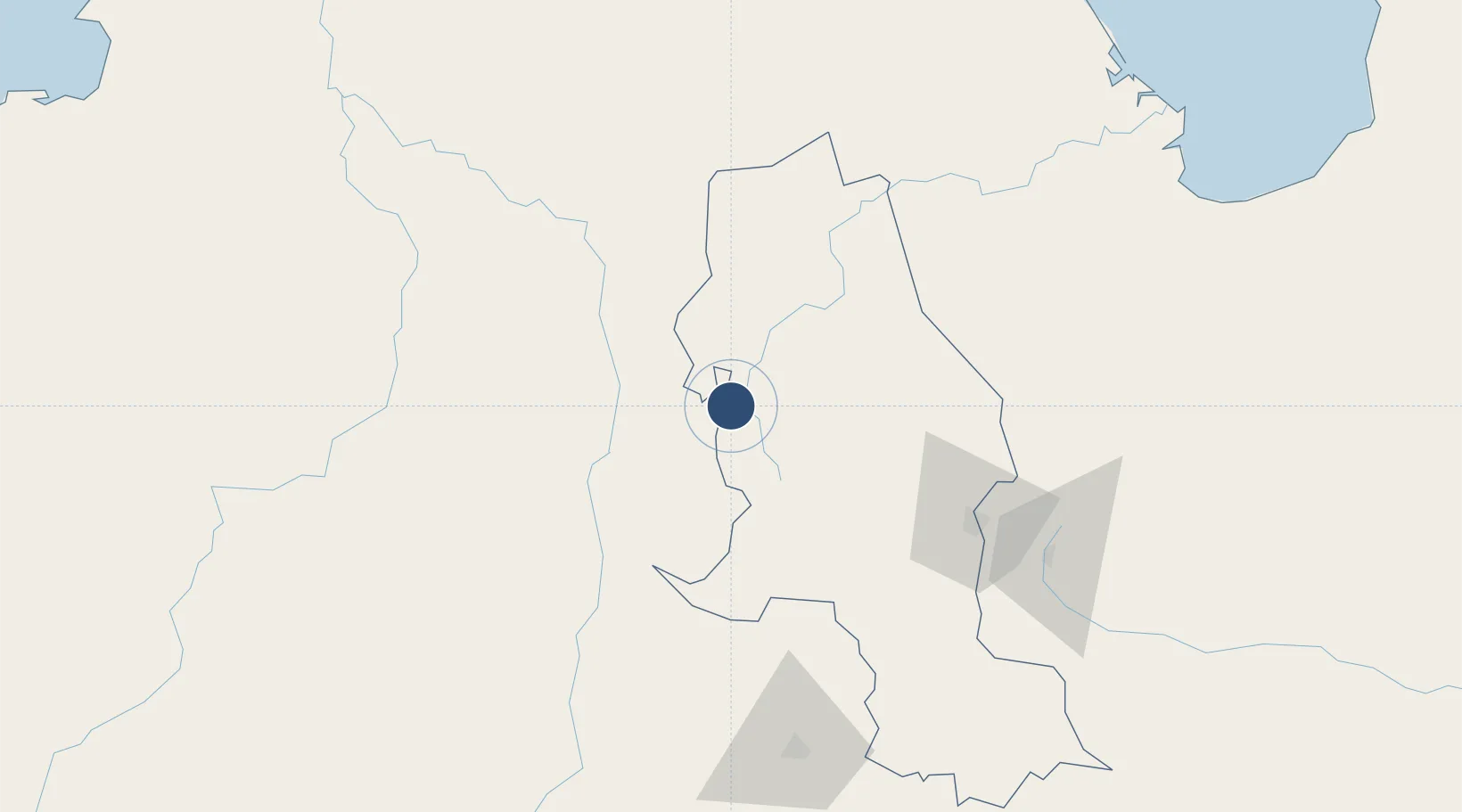
8.3151°, -73.3583°
3,937 ft
Longest runway
1
Runways
3,850 ft
Elevation
Runway & Layout

Radio Frequencies
TWR
118.4 MHz
RDO
348.8 MHz
OCANA RDO
Runways · 1
| Runway | Dimensions | Surface | True heading | Lit |
|---|---|---|---|---|
| 01/19 | 3,937 × 98ft | Asphalt | 006° | — |
Airport Specifications
IATA code
OCV
ICAO code
SKOC
Airport class
Medium airport
Scheduled service
No
Runway surface
Asphalt
Served city
Ocaña
Location
Nearby Logistics Neighbours
Airports
- 1Camilo Daza International Airport103 km
- 2Las Flores Airport106 km
- 3Juan Vicente Gómez International Airport114 km
- 4La Fria Airport120 km
- 5Palonegro Airport134 km
Cities
- 1Ureña109 km
- 2La Jagua de Ibirico137 km
- 3Seboruco144 km
- 4Barrancabermeja147 km
- 5El Carmen de Bolívar248 km
Ports
- 1Covenas283 km
- 2Covenas Offshore Term.292 km
- 3San Lorenzo300 km
- 4La Salina308 km
- 5Bajo Grande309 km
DatabookThe Record of Consolidated Knowledge
Colombia beyond logistics?