Transport Functions
Port
Road
Multimodal
Hub Profile
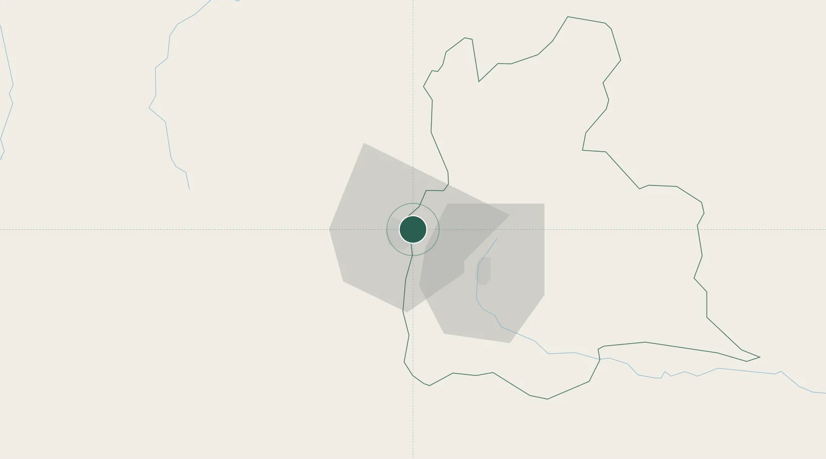
Place type
Provincial seat
Region
Táchira
Population
56,509
Time zone
America/Caracas
Elevation
345 m
Location
Nearby Logistics Neighbours
Cities
- 1Seboruco49 km
- 2Barrancabermeja183 km
- 3La Jagua de Ibirico206 km
- 4San Lorenzo/maracaibo L257 km
- 5Puerto Boyaca323 km
Ports
- 1San Lorenzo257 km
- 2La Salina293 km
- 3Bajo Grande303 km
- 4Maracaibo316 km
- 5Puerto Miranda331 km
Airports
Trade Zones
DatabookThe Record of Consolidated Knowledge
Venezuela beyond logistics?