UN/LOCODE hub · China
CNZJG
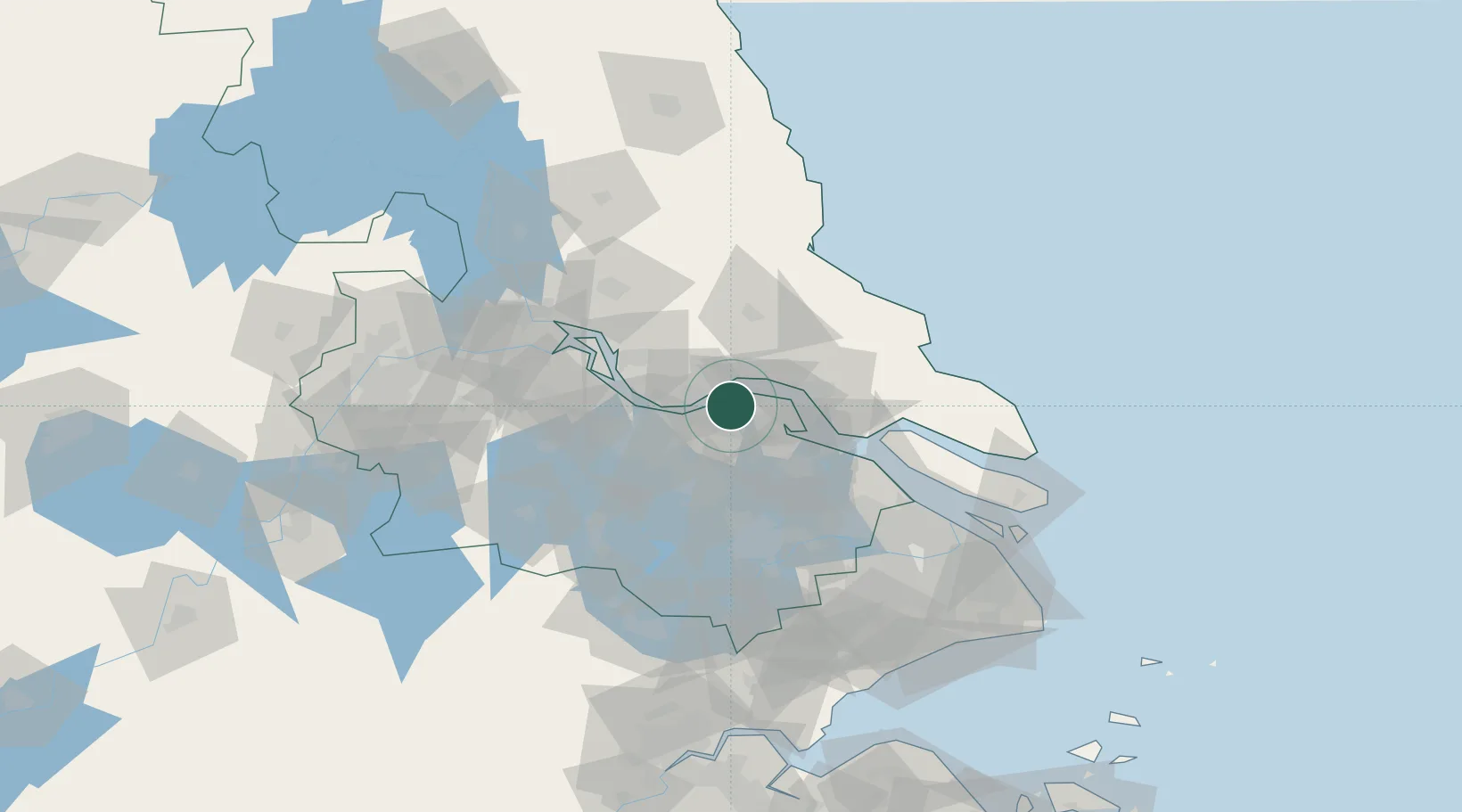
Zhangjiagang
31.9480°, 120.4626°
1
Transport functions
1
Container terminals
Transport Functions
Port
Hub Profile
Place type
Populated place
Region
Jiangsu
Time zone
Asia/Shanghai
Elevation
4 m
Logistics facilities
14
Container terminals
1
Location
Nearby Logistics Neighbours
Cities
- 1Rugao15 km
- 2Jingjiang19 km
- 3Chengxi22 km
- 4Jiangyin Pt25 km
- 5Wuxi27 km
Airports
DatabookThe Record of Consolidated Knowledge
China beyond logistics?