UN/LOCODE hub · China
CNJIA
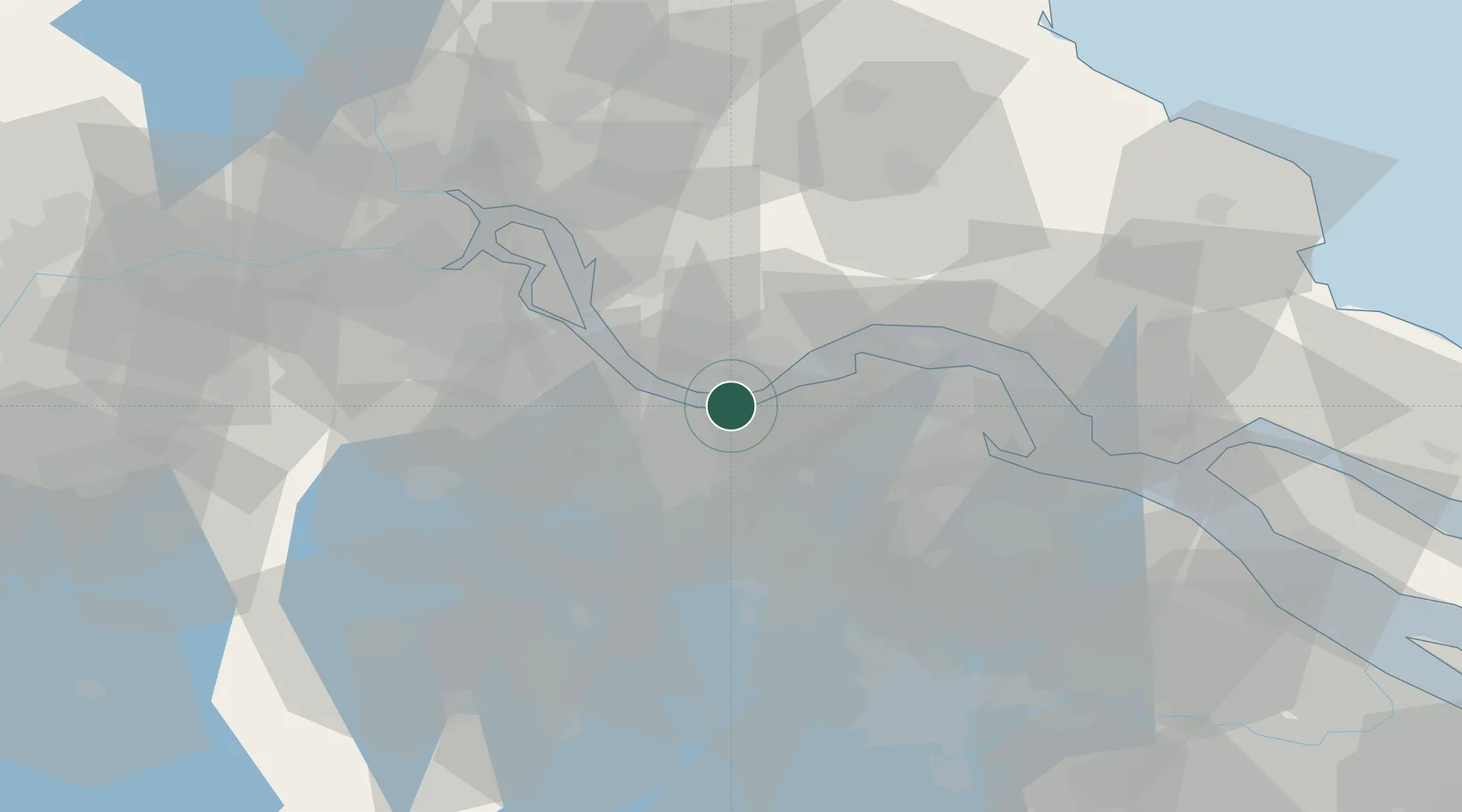
Jiangyin Pt
31.9149°, 120.2001°
1
Transport functions
1
Container terminals
Transport Functions
Port
Hub Profile
Region
JS
Logistics facilities
4
Container terminals
1
Location
Nearby Logistics Neighbours
Cities
- 1Wuxi2 km
- 2Chengxi3 km
- 3Jingjiang15 km
- 4Zhangjiagang25 km
- 5Changzhou28 km
Ports
- 1Jiangyin3 km
- 2Zhangjiangang20 km
- 3Changzhou21 km
- 4Gaogang53 km
- 5Nantong57 km
Airports
DatabookThe Record of Consolidated Knowledge
China beyond logistics?