UN/LOCODE hub · China
CNWXS

Wuxi

31.9087°, 120.1834°
3
Transport functions

Transport Functions

Port
Airport
Multimodal
UN/LOCODE

Hub Profile

Place type
Populated place
GeoNames
Region
Jiangsu
GeoNames
Time zone
Asia/Shanghai
GeoNames
Elevation
6 m
GeoNames
Logistics facilities
1
UN/LOCODE

Location

Location of CNWXS
Natural Earth 10m (public domain) · Jiangsu · CNWXS · 31.91, 120.18GoogleOSMYandex

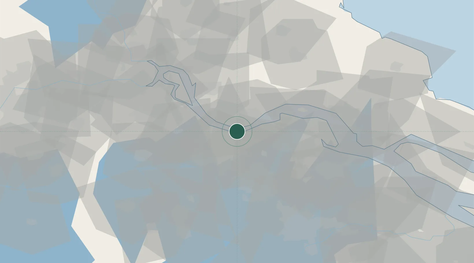
Nearby Logistics Neighbours

Cities
  1. 1Jiangyin Pt2 km
  2. 2Chengxi5 km
  3. 3Jingjiang17 km
  4. 4Changzhou27 km
  5. 5Zhangjiagang27 km
Nearest neighbours — logibook spatial index (haversine) over the source coordinates
Ports
  1. 1Jiangyin5 km
  2. 2Changzhou20 km
  3. 3Zhangjiangang21 km
  4. 4Gaogang52 km
  5. 5Nantong59 km
Nearest neighbours — logibook spatial index (haversine) over the source coordinates
Airports
  1. 1Changzhou Benniu International Airport39 km
  2. 2Rugao Air Base49 km
  3. 3Sunan Shuofang International Airport51 km
  4. 4Suzhou Guangfu Airport75 km
  5. 5Nantong Xingdong International Airport77 km
Nearest neighbours — logibook spatial index (haversine) over the source coordinates
DatabookThe Record of Consolidated Knowledge
China beyond logistics?
Browse databook

All Sources

LocationsUN/LOCODE
UN/LOCODE — free
Portsthe NGA World Port Index
Public domain (US gov)
AirportsOurAirports
Public domain
Trade Zonesthe World Bank SEZ database
CC BY 4.0
Trade ZonesOpen Zone Map
CC BY
← China locations