Medium airport · China

Changzhou Benniu International AirportZSCG
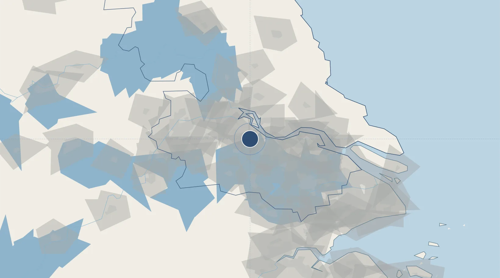
31.9205°, 119.7755°
11,155 ft
Longest runway
1
Runways
33 ft
Elevation

Runway & Layout

Changzhou Benniu International Airport runway & taxiway layout
Runway & taxiway layout — OpenStreetMap (ODbL) / OurAirports

Runways · 1

RunwayDimensions SurfaceTrue headingLit
11/29 11,155 × —ft concrete
OurAirports

Airport Specifications

IATA code
CZX
OurAirports
ICAO code
ZSCG
OurAirports
Airport class
Medium airport
OurAirports
Scheduled service
Yes
OurAirports
Runway surface
concrete
OurAirports
Served city
Changzhou
OurAirports

Location

Location of ZSCG
Natural Earth 10m (public domain) · Jiangsu · ZSCG · 31.92, 119.78GoogleOSMYandex

Nearby Logistics Neighbours

Airports
  1. 1Yangzhou Taizhou Airport72 km
  2. 2Sunan Shuofang International Airport78 km
  3. 3Rugao Air Base78 km
  4. 4Nanjing Lukou International Airport88 km
  5. 5Suzhou Guangfu Airport94 km
Nearest neighbours — logibook spatial index (haversine) over the source coordinates
Cities
  1. 1Changzhou21 km
  2. 2Zhenjiang32 km
  3. 3Yangzhong33 km
  4. 4Wuxi39 km
  5. 5Jiangyin Pt40 km
Nearest neighbours — logibook spatial index (haversine) over the source coordinates
Ports
  1. 1Changzhou20 km
  2. 2Gaogang41 km
  3. 3Jiangyin43 km
  4. 4Zhenjiang46 km
  5. 5Yangzhou50 km
Nearest neighbours — logibook spatial index (haversine) over the source coordinates
DatabookThe Record of Consolidated Knowledge
China beyond logistics?
Browse databook

All Sources

AirportsOurAirports
Public domain
Portsthe NGA World Port Index
Public domain (US gov)
LocationsUN/LOCODE
UN/LOCODE — free
Trade Zonesthe World Bank SEZ database
CC BY 4.0
Trade ZonesOpen Zone Map
CC BY
InfrastructureOpenStreetMap
ODbL 1.0
← China airports