Medium airport · China

Rugao Air BaseZSRG

32.2583°, 120.5011°

Runway & Layout

Rugao Air Base runway & taxiway layout
Runway & taxiway layout — OpenStreetMap (ODbL) / OurAirports

Airport Specifications

IATA code
RUG
OurAirports
ICAO code
ZSRG
OurAirports
Airport class
Medium airport
OurAirports
Scheduled service
No
OurAirports
Served city
Rugao (Nantong)
OurAirports

Location

Location of ZSRG
Natural Earth 10m (public domain) · Jiangsu · ZSRG · 32.26, 120.50GoogleOSMYandex

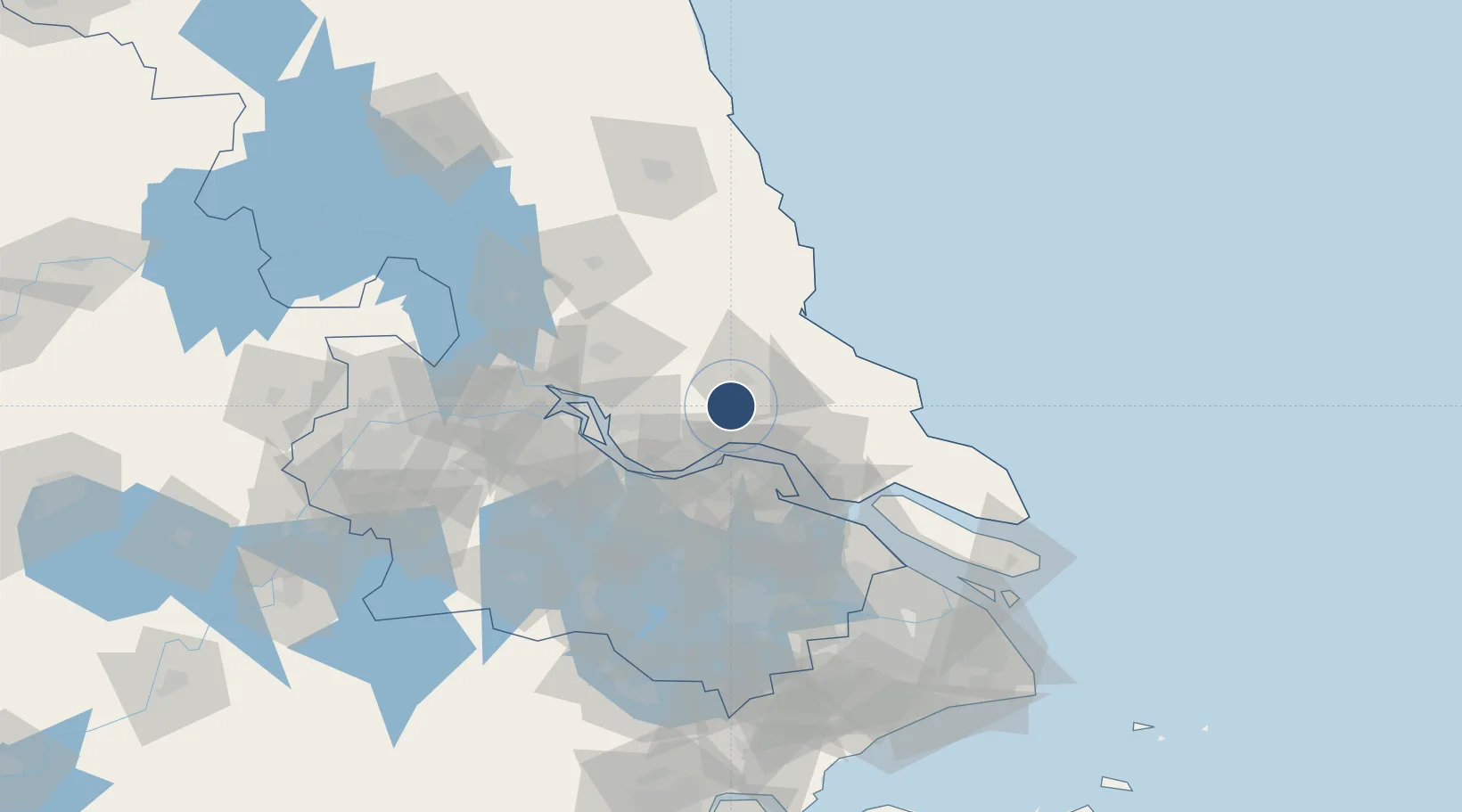
Nearby Logistics Neighbours

Airports
  1. 1Nantong Xingdong International Airport50 km
  2. 2Changzhou Benniu International Airport78 km
  3. 3Yangzhou Taizhou Airport81 km
  4. 4Sunan Shuofang International Airport85 km
  5. 5Suzhou Guangfu Airport111 km
Nearest neighbours — logibook spatial index (haversine) over the source coordinates
Cities
  1. 1Rugao26 km
  2. 2Jingjiang32 km
  3. 3Zhangjiagang35 km
  4. 4Jiangyan44 km
  5. 5Chengxi46 km
Nearest neighbours — logibook spatial index (haversine) over the source coordinates
Ports
  1. 1Zhangjiangang34 km
  2. 2Nantong40 km
  3. 3Jiangyin46 km
  4. 4Changzhou59 km
  5. 5Gaogang61 km
Nearest neighbours — logibook spatial index (haversine) over the source coordinates
Trade Zones
  1. 1Taoyuan Industrial Concentration Zone10 km
  2. 2Rugao High-tech Industrial Development Zone15 km
  3. 3Taixing Huangqiao Economic Development Zone23 km
  4. 4Jingjiang Economic Development Zone24 km
  5. 5Haian Economic Development Zone33 km
Nearest neighbours — logibook spatial index (haversine) over the source coordinates
DatabookThe Record of Consolidated Knowledge
China beyond logistics?
Browse databook

All Sources

AirportsOurAirports
Public domain
Portsthe NGA World Port Index
Public domain (US gov)
LocationsUN/LOCODE
UN/LOCODE — free
Trade Zonesthe World Bank SEZ database
CC BY 4.0
Trade ZonesOpen Zone Map
CC BY
InfrastructureOpenStreetMap
ODbL 1.0
← China airports