Transport Functions
Port
Hub Profile
Place type
Populated place
Region
Jiangsu
Time zone
Asia/Shanghai
Elevation
9 m
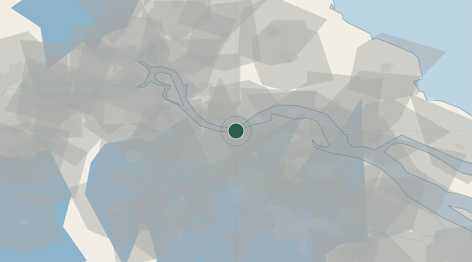
Location
Nearby Logistics Neighbours
Cities
- 1Jiangyin Pt3 km
- 2Wuxi5 km
- 3Jingjiang14 km
- 4Zhangjiagang22 km
- 5Changzhou31 km
Ports
- 1Jiangyin0 km
- 2Zhangjiangang17 km
- 3Changzhou24 km
- 4Nantong54 km
- 5Gaogang55 km
Airports
DatabookThe Record of Consolidated Knowledge
China beyond logistics?