Seaport · China

JiangyinCNJGY

31.9167°, 120.2333°
6.4 m
Channel depth
24.7
Port liner connectivity
Jiangyin is also a UN/LOCODE logistics hub →

Channel & Berth Profile

SEA LEVEL (CD)CHANNEL BEDAnchorage · 4.9 mOil terminal · 4.9 mChannel · 6.4 mCargo pier · 7.9 m
NGA World Port Index

Pilotage, Tugs & Services

Pilotage compulsoryYES
Pilotage availableYES
Tug assistanceYES
Potable waterYES
NGA World Port Index

Facilities & Capabilities

Container
Ro-Ro
Liquid bulk
Dry bulk
Oil terminal
Break bulk
Dry dock
RepairsNO
BunkeringYES
Rail link
Dangerous cargo
ISPS security
NGA World Port Index

Harbour Specifications

Harbour size
Small
NGA World Port Index
Harbour type
River (Natural)
NGA World Port Index
Shelter
Fair
NGA World Port Index
Water body
East China Sea; North Pacific Ocean
NGA World Port Index
Tidal range
2 m
NGA World Port Index
Pilotage
Yes
NGA World Port Index

Liner Connectivity

24.7
PLSCI

Port Liner Shipping Connectivity Index for Jiangyin, as published by UNCTAD for the latest available quarter. Higher values indicate stronger scheduled liner-shipping integration.

Shown relative to the highest per-port PLSCI in the dataset (1,657.9).
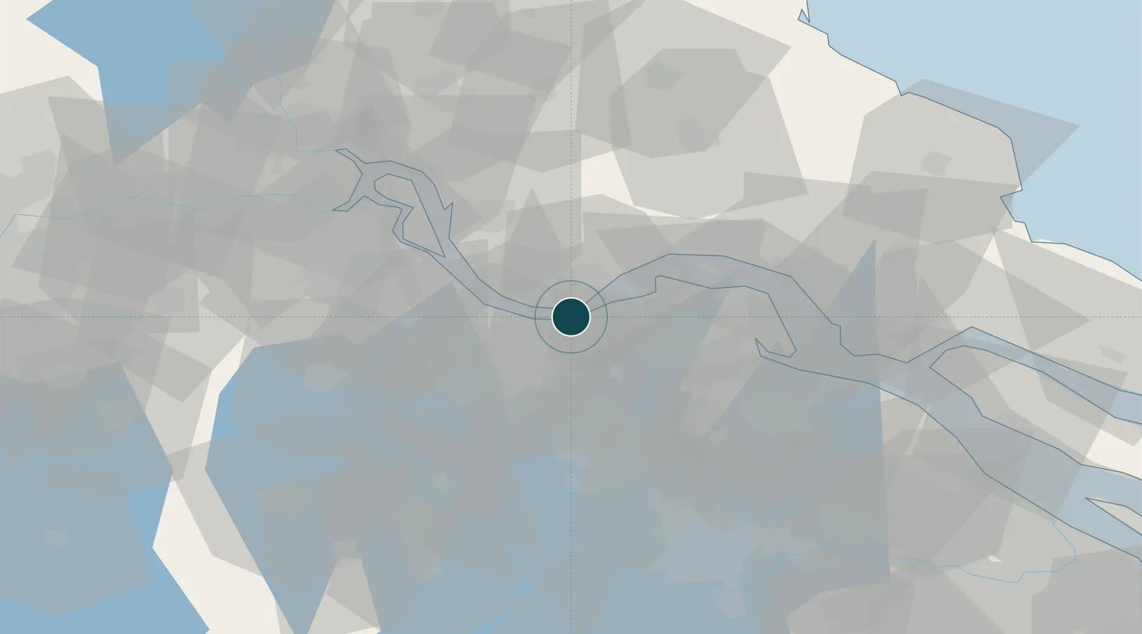
UNCTAD · Port Liner Shipping Connectivity Index

Location

Location of CNJGY
Natural Earth 10m (public domain) · Jiangsu · CNJGY · 31.92, 120.23GoogleOSMYandex

Nearby Logistics Neighbours

Ports
  1. 1Zhangjiangang17 km
  2. 2Changzhou24 km
  3. 3Nantong54 km
  4. 4Gaogang55 km
  5. 5Changshu70 km
Nearest neighbours — logibook spatial index (haversine) over the source coordinates
Cities
  1. 1Chengxi0 km
  2. 2Jiangyin Pt3 km
  3. 3Wuxi5 km
  4. 4Jingjiang14 km
  5. 5Zhangjiagang22 km
Nearest neighbours — logibook spatial index (haversine) over the source coordinates
Airports
  1. 1Changzhou Benniu International Airport43 km
  2. 2Rugao Air Base46 km
  3. 3Sunan Shuofang International Airport50 km
  4. 4Nantong Xingdong International Airport73 km
  5. 5Suzhou Guangfu Airport74 km
Nearest neighbours — logibook spatial index (haversine) over the source coordinates
DatabookThe Record of Consolidated Knowledge
China beyond logistics?
Browse databook

All Sources

Portsthe NGA World Port Index
Public domain (US gov)
Logistics performanceUNCTAD
CC BY 3.0 IGO
AirportsOurAirports
Public domain
LocationsUN/LOCODE
UN/LOCODE — free
Trade Zonesthe World Bank SEZ database
CC BY 4.0
Trade ZonesOpen Zone Map
CC BY
← China ports