Channel & Berth Profile
Pilotage, Tugs & Services
Pilotage compulsoryYES
Pilotage availableYES
Tug assistanceYES
Potable waterYES
Facilities & Capabilities
Container—
Ro-Ro—
Liquid bulk—
Dry bulk—
Oil terminal—
Break bulk—
Dry dock—
Repairs—
BunkeringYES
Rail link—
Dangerous cargo—
ISPS security—
Harbour Specifications
Harbour size
Small
Harbour type
Open Roadstead
Shelter
Fair
Water body
East China Sea; North Pacific Ocean
Tidal range
3 m
Pilotage
Yes
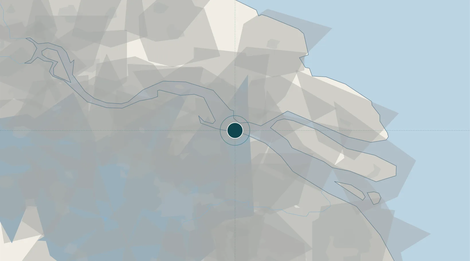
Location
Container Terminals · 1
CHANGSHU XINGHUA CONTAINER TERMINAL
CXCT CHANGSHU XINGHUA PORT CO LTD
Nearby Logistics Neighbours
Ports
- 1Taicang27 km
- 2Nantong30 km
- 3Zhangjiangang57 km
- 4Jiangyin70 km
- 5Shanghai80 km
Cities
- 1Nantong20 km
- 2Chongming29 km
- 3Taicang Pt29 km
- 4Zouxiang29 km
- 5Rugao46 km
Airports
DatabookThe Record of Consolidated Knowledge
China beyond logistics?