Seaport · China
NantongCNNTG
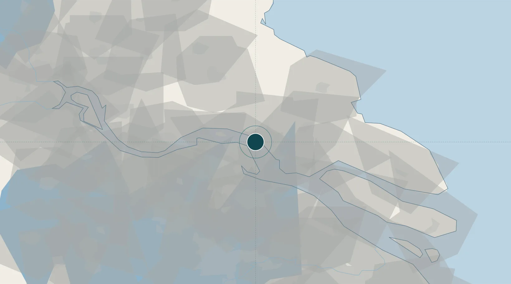
32.0000°, 120.8000°
9.4 m
Channel depth
1
Container terminals
34.6
Port liner connectivity
Channel & Berth Profile
Pilotage, Tugs & Services
Pilotage compulsoryYES
Pilotage availableYES
Tug assistanceYES
Potable waterYES
Diesel bunkersYES
MedicalYES
Facilities & Capabilities
Container—
Ro-Ro—
Liquid bulk—
Dry bulk—
Oil terminal—
Break bulk—
Dry dockNO
RepairsNO
BunkeringYES
Rail linkYES
Dangerous cargo—
ISPS security—
Harbour Specifications
Harbour size
Small
Harbour type
River (Natural)
Shelter
Fair
Water body
East China Sea; North Pacific Ocean
Tidal range
2 m
Overhead limit
Yes
Pilotage
Yes
Liner Connectivity
34.6
PLSCI
Port Liner Shipping Connectivity Index for Nantong, as published by UNCTAD for the latest available quarter. Higher values indicate stronger scheduled liner-shipping integration.
Shown relative to the highest per-port PLSCI in the dataset (1,657.9).
Location
Container Terminals · 1
NANTONG TONGHAI TERMINAL
NTT NANTONG TONGHAI PORT CO., LTD. / CSP COSCO SHIPPING PORTS
Nearby Logistics Neighbours
Ports
- 1Changshu30 km
- 2Zhangjiangang38 km
- 3Taicang54 km
- 4Jiangyin54 km
- 5Changzhou77 km
Cities
- 1Rugao21 km
- 2Zhangjiagang32 km
- 3Changshu Pt35 km
- 4Zouxiang39 km
- 5Jingjiang49 km
Airports
Trade Zones
DatabookThe Record of Consolidated Knowledge
China beyond logistics?