UN/LOCODE hub · China
CNRUG
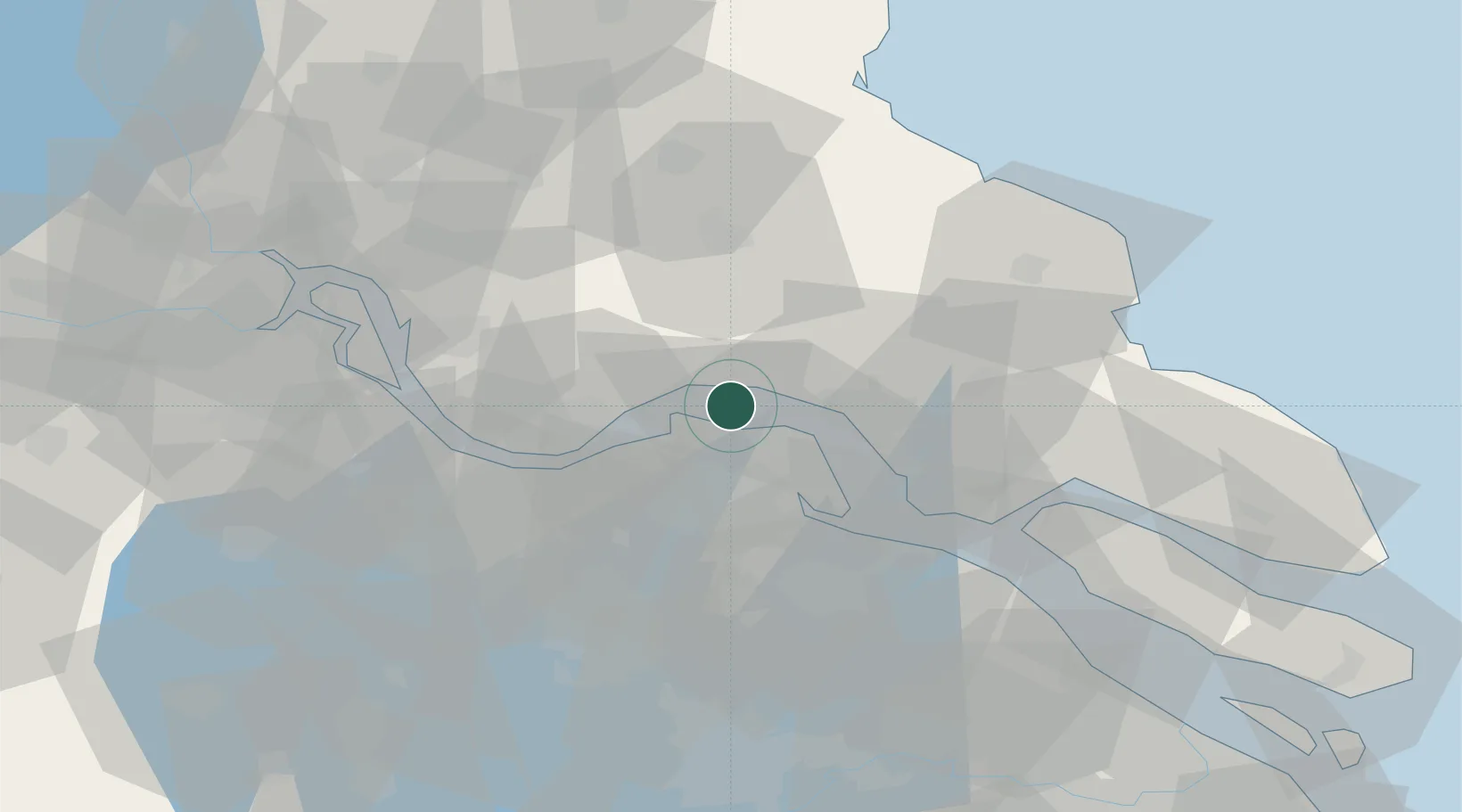
Rugao
32.0386°, 120.5797°
257,400
Population
3
Transport functions
1
Container terminals
Transport Functions
Port
Rail
Road
Hub Profile
Place type
District seat
Region
Jiangsu
Population
257,400
Time zone
Asia/Shanghai
Elevation
6 m
Logistics facilities
2
Container terminals
1
Location
Nearby Logistics Neighbours
Cities
- 1Zhangjiagang15 km
- 2Jingjiang28 km
- 3Nantong33 km
- 4Chengxi35 km
- 5Jiangyin Pt38 km
Ports
- 1Zhangjiangang19 km
- 2Nantong21 km
- 3Jiangyin35 km
- 4Changshu46 km
- 5Changzhou57 km
Airports
DatabookThe Record of Consolidated Knowledge
China beyond logistics?