Diversified Zone · China

Kunshan and the Wuxi Wind Power Science and Technology Park Active
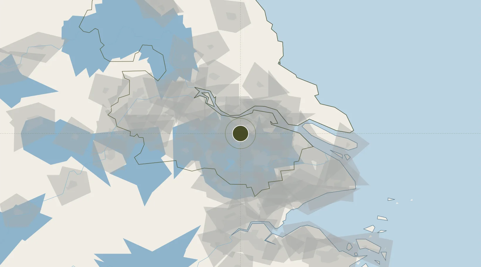
31.6817°, 120.2818°
7,600 ha
Zone area
26.5 km
Nearest port
24.9 km
Nearest airport

Gateway access

Nearest neighbours — logibook spatial index (haversine) over the source coordinates

Zone profile

Zone type
Diversified Zone
Open Zone Map
Region
Jiangsu
Open Zone Map
Status
Active
Open Zone Map
Management
Public
Open Zone Map
Operator
Management Commitiee
Open Zone Map
Legal framework
In February 2002, it was formally established as a provincial economic development zone
Open Zone Map

Location

Location of ozm-978
Natural Earth 10m (public domain) · Jiangsu · ozm-978 · 31.68, 120.28GoogleOSMYandex

Nearby Logistics Neighbours

Ports
  1. 1Jiangyin27 km
  2. 2Zhangjiangang34 km
  3. 3Changzhou42 km
  4. 4Nantong60 km
  5. 5Changshu64 km
Nearest neighbours — logibook spatial index (haversine) over the source coordinates
Airports
  1. 1Sunan Shuofang International Airport25 km
  2. 2Suzhou Guangfu Airport48 km
  3. 3Changzhou Benniu International Airport55 km
  4. 4Rugao Air Base67 km
  5. 5Chenghu General Airport71 km
Nearest neighbours — logibook spatial index (haversine) over the source coordinates
Cities
  1. 1Chengxi27 km
  2. 2Wuxi27 km
  3. 3Jiangyin Pt27 km
  4. 4Taizhou29 km
  5. 5Zhangjiagang34 km
Nearest neighbours — logibook spatial index (haversine) over the source coordinates
Trade Zones
  1. 1Huishan Economic Development Zone3 km
  2. 2Xishan Economic Development Zone14 km
  3. 3Liyuan Economic Development Zone15 km
  4. 4Wuxi Liyuan High-Tech Industrial Park18 km
  5. 5Changzhou Qishuyan Economic Development Zone22 km
Nearest neighbours — logibook spatial index (haversine) over the source coordinates
DatabookThe Record of Consolidated Knowledge
China beyond logistics?
Browse databook

All Sources

Trade ZonesOpen Zone Map
CC BY
Portsthe NGA World Port Index
Public domain (US gov)
AirportsOurAirports
Public domain
LocationsUN/LOCODE
UN/LOCODE — free
← China trade zones