UN/LOCODE hub · China
CNJIJ

Jingjiang

32.0333°, 120.2833°
3
Transport functions

Transport Functions

Port
Rail
Road
UN/LOCODE

Hub Profile

Place type
District seat
GeoNames
Region
Jiangsu
GeoNames
Time zone
Asia/Shanghai
GeoNames
Elevation
8 m
GeoNames

Location

Location of CNJIJ
Natural Earth 10m (public domain) · Jiangsu · CNJIJ · 32.03, 120.28GoogleOSMYandex

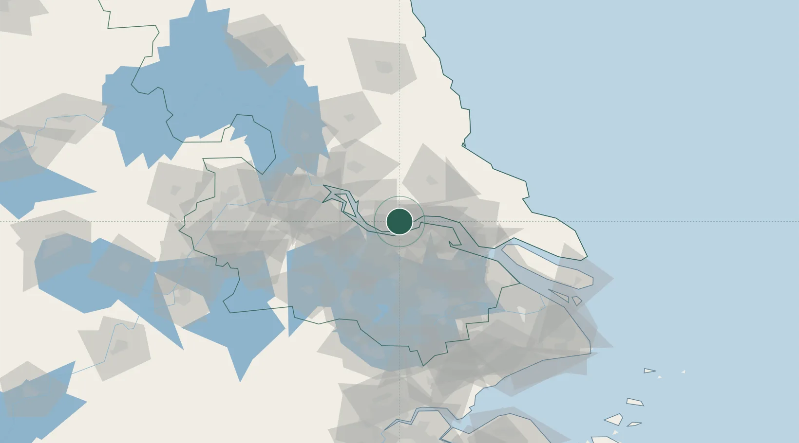
Nearby Logistics Neighbours

Cities
  1. 1Chengxi14 km
  2. 2Jiangyin Pt15 km
  3. 3Wuxi17 km
  4. 4Zhangjiagang19 km
  5. 5Rugao28 km
Nearest neighbours — logibook spatial index (haversine) over the source coordinates
Ports
  1. 1Zhangjiangang13 km
  2. 2Jiangyin14 km
  3. 3Changzhou29 km
  4. 4Nantong49 km
  5. 5Gaogang49 km
Nearest neighbours — logibook spatial index (haversine) over the source coordinates
Airports
  1. 1Rugao Air Base32 km
  2. 2Changzhou Benniu International Airport50 km
  3. 3Sunan Shuofang International Airport61 km
  4. 4Nantong Xingdong International Airport66 km
  5. 5Yangzhou Taizhou Airport79 km
Nearest neighbours — logibook spatial index (haversine) over the source coordinates
Trade Zones
  1. 1Jingjiang Economic Development Zone12 km
  2. 2Jiangyin Economic Development Zone13 km
  3. 3Jiangyin Lingang Economic Development Zone22 km
  4. 4Taixing Huangqiao Economic Development Zone23 km
  5. 5Taixing Economic Development Zone32 km
Nearest neighbours — logibook spatial index (haversine) over the source coordinates
DatabookThe Record of Consolidated Knowledge
China beyond logistics?
Browse databook

All Sources

LocationsUN/LOCODE
UN/LOCODE — free
Portsthe NGA World Port Index
Public domain (US gov)
AirportsOurAirports
Public domain
Trade Zonesthe World Bank SEZ database
CC BY 4.0
Trade ZonesOpen Zone Map
CC BY
← China locations