Diversified Zone · China

Jiangyin Lingang Economic Development Zone Active
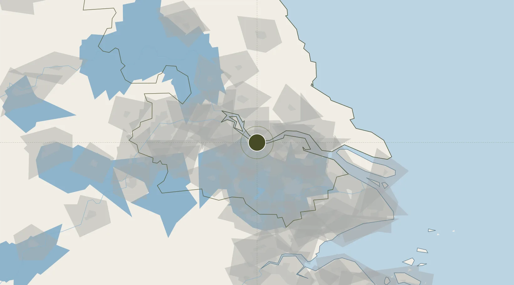
31.9211°, 120.0954°
18,800 ha
Zone area
11.7 km
Nearest port
30.2 km
Nearest airport

Gateway access

Nearest neighbours — logibook spatial index (haversine) over the source coordinates

Zone profile

Zone type
Diversified Zone
Open Zone Map
Region
Jiangsu
Open Zone Map
Status
Active
Open Zone Map
Management
Public
Open Zone Map
Operator
Management Commitiee
Open Zone Map
Legal framework
Regulations on Taxation Policies of National High-Tech Industrial Development Zones Approved by State Council of the People's Republic of China Mar 6, 1991; Administrative Measures for the Recognition of High-tech Enterprises; Ministry of Science and Tech
Open Zone Map

Location

Location of ozm-1015
Natural Earth 10m (public domain) · Jiangsu · ozm-1015 · 31.92, 120.10GoogleOSMYandex

Nearby Logistics Neighbours

Ports
  1. 1Changzhou12 km
  2. 2Jiangyin13 km
  3. 3Zhangjiangang29 km
  4. 4Gaogang46 km
  5. 5Nantong67 km
Nearest neighbours — logibook spatial index (haversine) over the source coordinates
Airports
  1. 1Changzhou Benniu International Airport30 km
  2. 2Rugao Air Base54 km
  3. 3Sunan Shuofang International Airport57 km
  4. 4Suzhou Guangfu Airport79 km
  5. 5Yangzhou Taizhou Airport80 km
Nearest neighbours — logibook spatial index (haversine) over the source coordinates
Cities
  1. 1Wuxi8 km
  2. 2Jiangyin Pt10 km
  3. 3Chengxi13 km
  4. 4Changzhou21 km
  5. 5Jingjiang22 km
Nearest neighbours — logibook spatial index (haversine) over the source coordinates
DatabookThe Record of Consolidated Knowledge
China beyond logistics?
Browse databook

All Sources

Trade ZonesOpen Zone Map
CC BY
Portsthe NGA World Port Index
Public domain (US gov)
AirportsOurAirports
Public domain
LocationsUN/LOCODE
UN/LOCODE — free
← China trade zones