Large airport · China

Qiqihar Sanjiazi AirportZYQQ
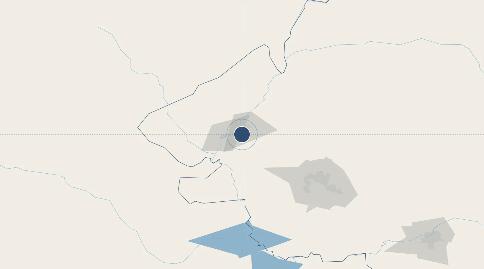
47.2300°, 123.9142°
11,811 ft
Longest runway
2
Runways
477 ft
Elevation

Runway & Layout

Qiqihar Sanjiazi Airport runway & taxiway layout
Runway & taxiway layout — OpenStreetMap (ODbL) / OurAirports

Radio Frequencies

TWR
130 MHz
QIQIHAR
OurAirports

Navaids

NDG VOR-DME Qiqihar 112.90 MHz
OurAirports

Runways · 2

RunwayDimensions SurfaceTrue headingLit
17L/35R 11,811 × 164ft Concrete 158°
17R/35L 9,843 × 164ft Concrete
OurAirports

Airport Specifications

IATA code
NDG
OurAirports
ICAO code
ZYQQ
OurAirports
Airport class
Large airport
OurAirports
Scheduled service
Yes
OurAirports
Runway surface
Concrete
OurAirports
Served city
Qiqihar
OurAirports

Location

Location of ZYQQ
Natural Earth 10m (public domain) · Heilongjiang · ZYQQ · 47.23, 123.91GoogleOSMYandex

Nearby Logistics Neighbours

Airports
  1. 1Daqing Sartu Airport107 km
  2. 2Zhalantun Genghis Khan Airport111 km
  3. 3Ulanhot Yilelite Airport185 km
  4. 4Baicheng Chang'an Airport204 km
  5. 5Wudalianchi Dedu Airport213 km
Nearest neighbours — logibook spatial index (haversine) over the source coordinates
Cities
  1. 1Daqing67 km
  2. 2Ulan Hot189 km
  3. 3Baicheng195 km
  4. 4Zhaodong204 km
  5. 5Harbin265 km
Nearest neighbours — logibook spatial index (haversine) over the source coordinates
Ports
  1. 1Yingkou740 km
  2. 2Pos'yet743 km
  3. 3Najin750 km
  4. 4Jinzhou Wan755 km
  5. 5Slavyanka761 km
Nearest neighbours — logibook spatial index (haversine) over the source coordinates
Trade Zones
  1. 1Hecheng Science and Technology Industrial Park19 km
  2. 2Fuyu Economic Development Zone73 km
  3. 3Gannan County Industrial Demonstration Base82 km
  4. 4Tailai Industrial Demonstration Base99 km
  5. 5Arong Banner Industrial Park105 km
Nearest neighbours — logibook spatial index (haversine) over the source coordinates
DatabookThe Record of Consolidated Knowledge
China beyond logistics?
Browse databook

All Sources

AirportsOurAirports
Public domain
Portsthe NGA World Port Index
Public domain (US gov)
LocationsUN/LOCODE
UN/LOCODE — free
Trade Zonesthe World Bank SEZ database
CC BY 4.0
Trade ZonesOpen Zone Map
CC BY
InfrastructureOpenStreetMap
ODbL 1.0
← China airports