Transport Functions
Multimodal
Hub Profile
Place type
Populated place
Region
Gansu
Time zone
Asia/Shanghai
Elevation
1,562 m
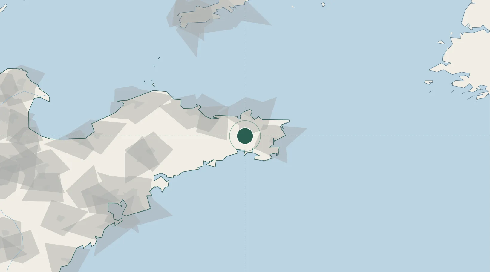
Location
Nearby Logistics Neighbours
Cities
- 1Weihai22 km
- 2Shidao Pt28 km
- 3Rongcheng30 km
- 4Weihai Pt37 km
- 5Longyan Pt59 km
Ports
- 1Weihai36 km
- 2Yantai67 km
- 3Penglai128 km
- 4Longkou Gang164 km
- 5Lushun191 km
Airports
Trade Zones
DatabookThe Record of Consolidated Knowledge
China beyond logistics?