Export Processing Zone · China

Weihai Export Processing Zone Active
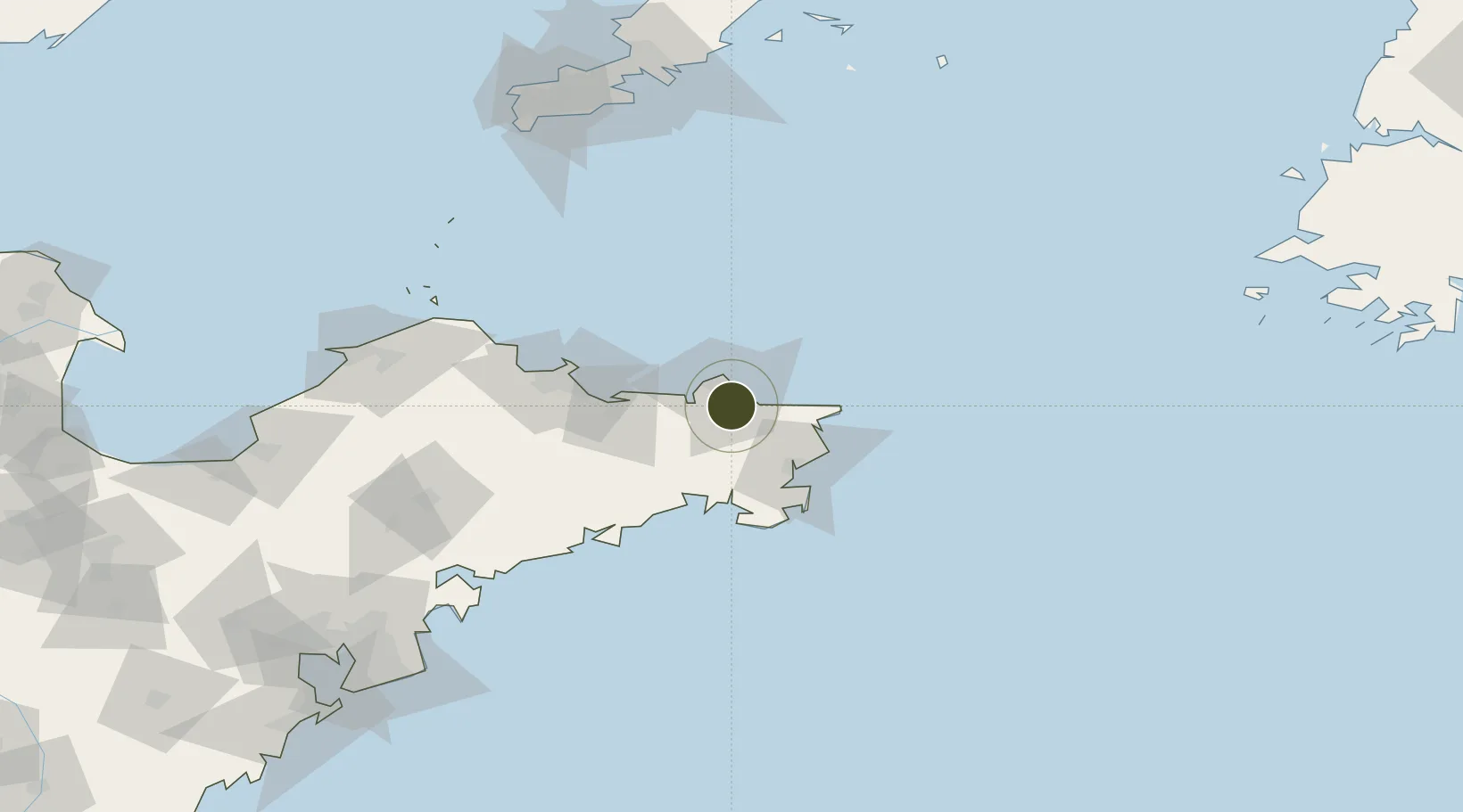
37.4120°, 122.1620°
4,234 ha
Zone area
11.2 km
Nearest port
25.7 km
Nearest airport

Gateway access

Nearest neighbours — logibook spatial index (haversine) over the source coordinates

Zone profile

Zone type
Export Processing Zone
the World Bank SEZ database
Region
Shandong
the World Bank SEZ database
Status
Active
the World Bank SEZ database
Established
2002
the World Bank SEZ database
Management
Public agency
the World Bank SEZ database
Operator
Administrative Committee of Weihai Export Processing Zone
the World Bank SEZ database
Regulatory authority
Administrative Commission
the World Bank SEZ database
Legal framework
State or Provincial Council Decree
the World Bank SEZ database

Location

Location of CHN51
Natural Earth 10m (public domain) · Shandong · CHN51 · 37.41, 122.16GoogleOSMYandex

Fiscal & incentives

Corporate tax
25%
the World Bank SEZ database
Tax relief
Reduced fixed-rate at 15% for high-tech enterprises
the World Bank SEZ database
Relief duration
Perpetual
the World Bank SEZ database
VAT
100% exempt on VAT on inputs and capex; reduced fixed-rate VAT at 13% for agricultural-related activities
the World Bank SEZ database
Import duty (inputs)
100% exempt
the World Bank SEZ database
Import duty (capex)
100% exempt
the World Bank SEZ database
Profit repatriation
No exemption
the World Bank SEZ database
Capital gains
No exemption
the World Bank SEZ database
Withholding tax
No exemption
the World Bank SEZ database
Min. investment
None
the World Bank SEZ database
Min. export
100%
the World Bank SEZ database
Employment incentive
No exemption
the World Bank SEZ database
Developer incentive
Under review
the World Bank SEZ database

Nearby Logistics Neighbours

Ports
  1. 1Weihai11 km
  2. 2Yantai65 km
  3. 3Penglai125 km
  4. 4Longkou Gang168 km
  5. 5Lushun172 km
Nearest neighbours — logibook spatial index (haversine) over the source coordinates
Airports
  1. 1Weihai Dashuibo Airport26 km
  2. 2Yantai Penglai International Airport108 km
  3. 3Laiyang Air Base148 km
  4. 4Dalian Zhoushuizi International Airport181 km
  5. 5Tuchengzi Air Base185 km
Nearest neighbours — logibook spatial index (haversine) over the source coordinates
Cities
  1. 1Weihai5 km
  2. 2Weihai Pt10 km
  3. 3Wendeng27 km
  4. 4Rongcheng35 km
  5. 5Shidao Pt40 km
Nearest neighbours — logibook spatial index (haversine) over the source coordinates
Trade Zones
  1. 1Rongcheng Economic Development Zone39 km
  2. 2Yantai Export Processing Zone72 km
  3. 3Rushan Economic Development Zone78 km
  4. 4Qixia Economic Development Zone99 km
  5. 5Haiyang Economic Development Zone113 km
Nearest neighbours — logibook spatial index (haversine) over the source coordinates
DatabookThe Record of Consolidated Knowledge
China beyond logistics?
Browse databook

All Sources

Trade Zonesthe World Bank SEZ database
CC BY 4.0
Portsthe NGA World Port Index
Public domain (US gov)
AirportsOurAirports
Public domain
LocationsUN/LOCODE
UN/LOCODE — free
← China trade zones