Channel & Berth Profile
Pilotage, Tugs & Services
Pilotage compulsoryYES
Pilotage availableYES
Pilotage advisableYES
Tug assistanceYES
Potable waterYES
MedicalYES
Facilities & Capabilities
Container—
Ro-Ro—
Liquid bulk—
Dry bulk—
Oil terminal—
Break bulk—
Dry dock—
Repairs—
BunkeringYES
Rail link—
Dangerous cargo—
ISPS security—
Harbour Specifications
Harbour size
Medium
Harbour type
Coastal (Natural)
Shelter
Excellent
Water body
Yellow Sea; North Pacific Ocean
Tidal range
1 m
Pilotage
Yes
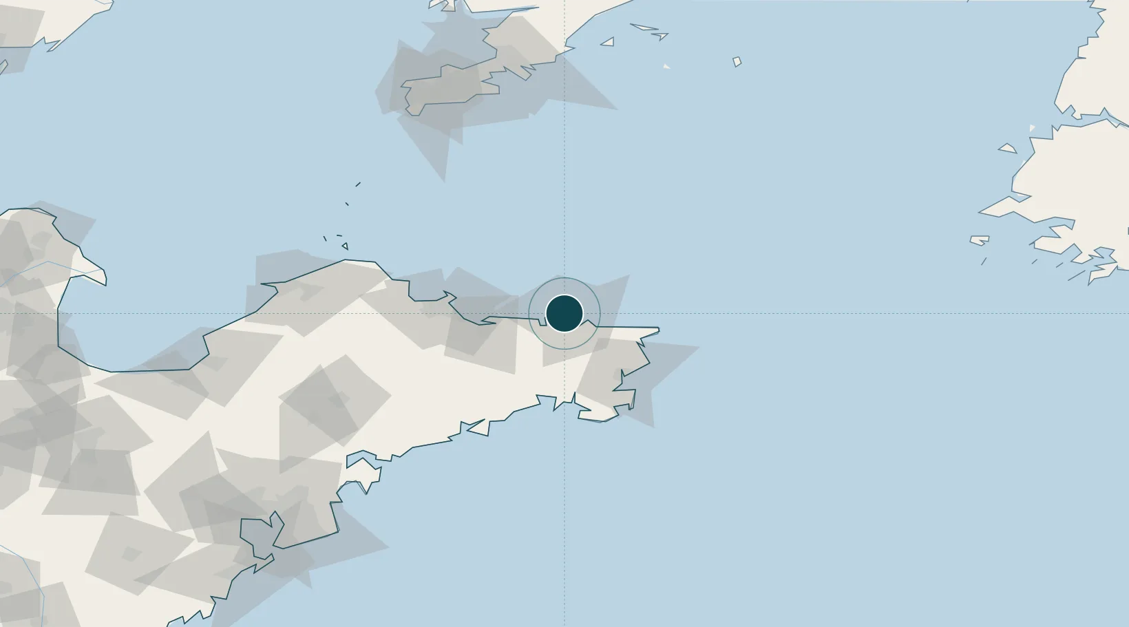
Location
Nearby Logistics Neighbours
Ports
- 1Yantai58 km
- 2Penglai117 km
- 3Longkou Gang161 km
- 4Lushun161 km
- 5Dalian162 km
Cities
- 1Weihai15 km
- 2Wendeng36 km
- 3Rongcheng46 km
- 4Longyan Pt48 km
- 5Shidao Pt51 km
Airports
- 1Weihai Dashuibo Airport37 km
- 2Yantai Penglai International Airport100 km
- 3Laiyang Air Base146 km
- 4Dalian Zhoushuizi International Airport170 km
- 5Tuchengzi Air Base174 km
Trade Zones
DatabookThe Record of Consolidated Knowledge
China beyond logistics?