Diversified Zone · China

Rongcheng Economic Development Zone Active
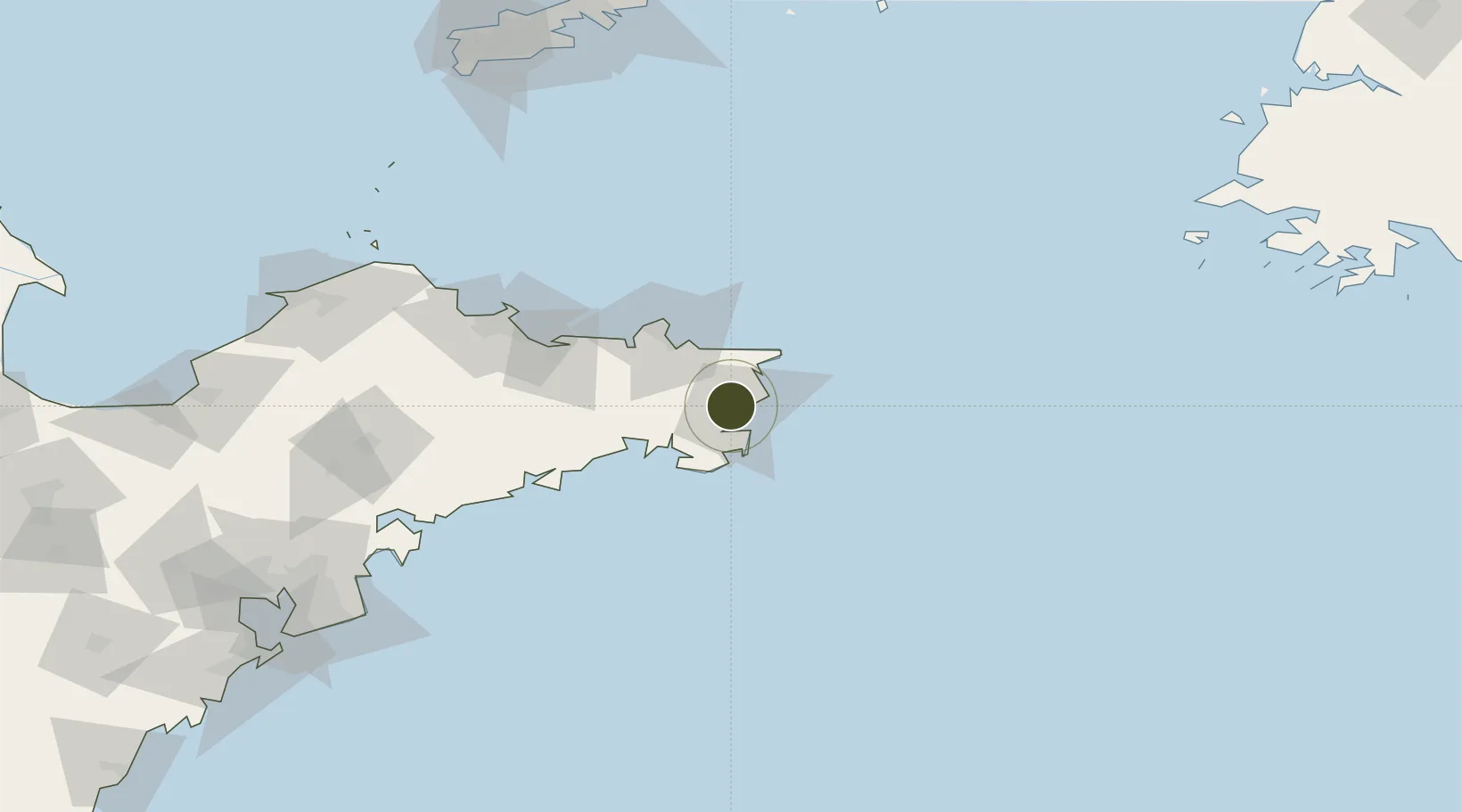
37.1443°, 122.4464°
2,270 ha
Zone area
50.0 km
Nearest port
19.8 km
Nearest airport

Gateway access

Nearest neighbours — logibook spatial index (haversine) over the source coordinates

Zone profile

Zone type
Diversified Zone
Open Zone Map
Region
Shandong
Open Zone Map
Status
Active
Open Zone Map
Management
Public
Open Zone Map
Operator
Management committee
Open Zone Map
Legal framework
In December 1992, Shandong Provincial people's government was approved as a provincial economic and technological development zone
Open Zone Map

Location

Location of ozm-839
Natural Earth 10m (public domain) · Shandong · ozm-839 · 37.14, 122.45GoogleOSMYandex

Nearby Logistics Neighbours

Ports
  1. 1Weihai50 km
  2. 2Yantai99 km
  3. 3Penglai161 km
  4. 4Longkou Gang199 km
  5. 5Dalian209 km
Nearest neighbours — logibook spatial index (haversine) over the source coordinates
Airports
  1. 1Weihai Dashuibo Airport20 km
  2. 2Yantai Penglai International Airport142 km
  3. 3Laiyang Air Base166 km
  4. 4Dalian Zhoushuizi International Airport218 km
  5. 5Tuchengzi Air Base223 km
Nearest neighbours — logibook spatial index (haversine) over the source coordinates
Cities
  1. 1Rongcheng6 km
  2. 2Shidao Pt12 km
  3. 3Wendeng35 km
  4. 4Longyan Pt36 km
  5. 5Weihai37 km
Nearest neighbours — logibook spatial index (haversine) over the source coordinates
Trade Zones
  1. 1Weihai Export Processing Zone39 km
  2. 2Rushan Economic Development Zone84 km
  3. 3Yantai Export Processing Zone106 km
  4. 4Haiyang Economic Development Zone119 km
  5. 5Qixia Economic Development Zone129 km
Nearest neighbours — logibook spatial index (haversine) over the source coordinates
DatabookThe Record of Consolidated Knowledge
China beyond logistics?
Browse databook

All Sources

Trade ZonesOpen Zone Map
CC BY
Portsthe NGA World Port Index
Public domain (US gov)
AirportsOurAirports
Public domain
LocationsUN/LOCODE
UN/LOCODE — free
← China trade zones