Medium airport · China

Weihai Dashuibo AirportZSWH
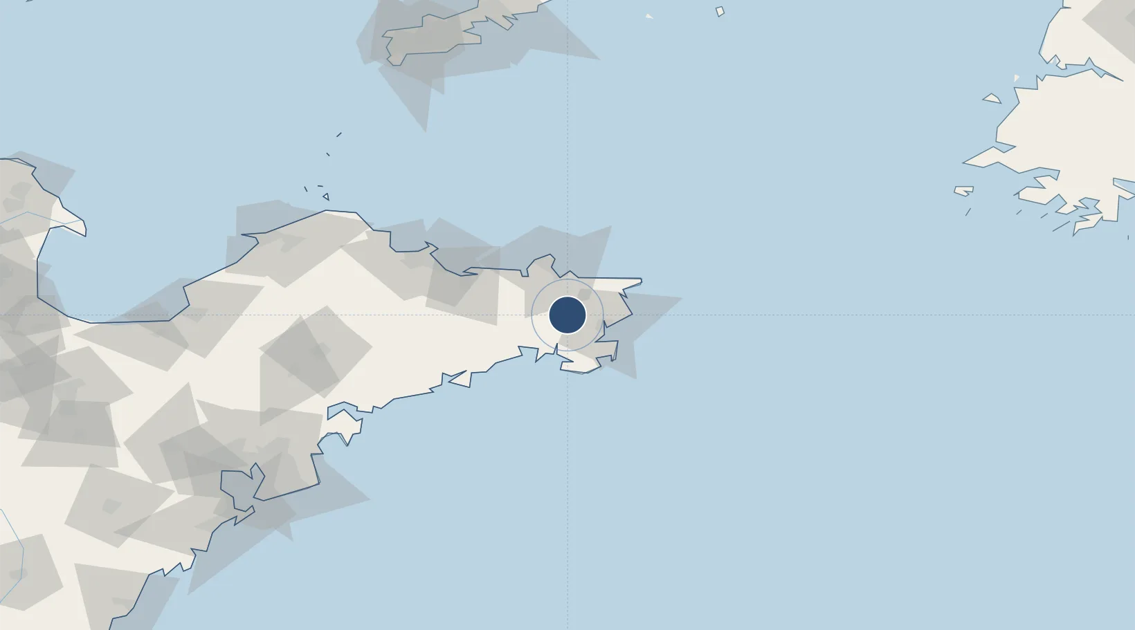
37.1871°, 122.2290°
8,530 ft
Longest runway
1
Runways
145 ft
Elevation

Runway & Layout

Weihai Dashuibo Airport runway & taxiway layout
Runway & taxiway layout — OpenStreetMap (ODbL) / OurAirports

Radio Frequencies

ATIS
127.05 MHz
TWR
130 MHz
WEIHAI TWR
OurAirports

Navaids

WEH VOR-DME Weihai 115.80 MHz
OurAirports

Runways · 1

RunwayDimensions SurfaceTrue headingLit
02/20 8,530 × 148ft Concrete 018°
OurAirports

Airport Specifications

IATA code
WEH
OurAirports
ICAO code
ZSWH
OurAirports
Airport class
Medium airport
OurAirports
Scheduled service
Yes
OurAirports
Runway surface
Concrete
OurAirports
Served city
Weihai
OurAirports

Location

Location of ZSWH
Natural Earth 10m (public domain) · Shandong · ZSWH · 37.19, 122.23GoogleOSMYandex

Nearby Logistics Neighbours

Airports
  1. 1Yantai Penglai International Airport122 km
  2. 2Laiyang Air Base147 km
  3. 3Dalian Zhoushuizi International Airport207 km
  4. 4Tuchengzi Air Base211 km
  5. 5Qingdao Jiaodong International Airport212 km
Nearest neighbours — logibook spatial index (haversine) over the source coordinates
Cities
  1. 1Rongcheng14 km
  2. 2Shidao Pt15 km
  3. 3Wendeng16 km
  4. 4Weihai22 km
  5. 5Weihai Pt35 km
Nearest neighbours — logibook spatial index (haversine) over the source coordinates
Ports
  1. 1Weihai37 km
  2. 2Yantai80 km
  3. 3Penglai142 km
  4. 4Longkou Gang179 km
  5. 5Lushun197 km
Nearest neighbours — logibook spatial index (haversine) over the source coordinates
Trade Zones
  1. 1Rongcheng Economic Development Zone20 km
  2. 2Weihai Export Processing Zone26 km
  3. 3Rushan Economic Development Zone68 km
  4. 4Yantai Export Processing Zone87 km
  5. 5Haiyang Economic Development Zone104 km
Nearest neighbours — logibook spatial index (haversine) over the source coordinates
DatabookThe Record of Consolidated Knowledge
China beyond logistics?
Browse databook

All Sources

AirportsOurAirports
Public domain
Portsthe NGA World Port Index
Public domain (US gov)
LocationsUN/LOCODE
UN/LOCODE — free
Trade Zonesthe World Bank SEZ database
CC BY 4.0
Trade ZonesOpen Zone Map
CC BY
InfrastructureOpenStreetMap
ODbL 1.0
← China airports