UN/LOCODE hub · China
CNSHD

Shidao Pt

37.0820°, 122.3378°
1
Transport functions

Transport Functions

Port
UN/LOCODE

Hub Profile

Region
SD
GeoNames
Logistics facilities
4
UN/LOCODE

Location

Location of CNSHD
Natural Earth 10m (public domain) · SD · CNSHD · 37.08, 122.34GoogleOSMYandex

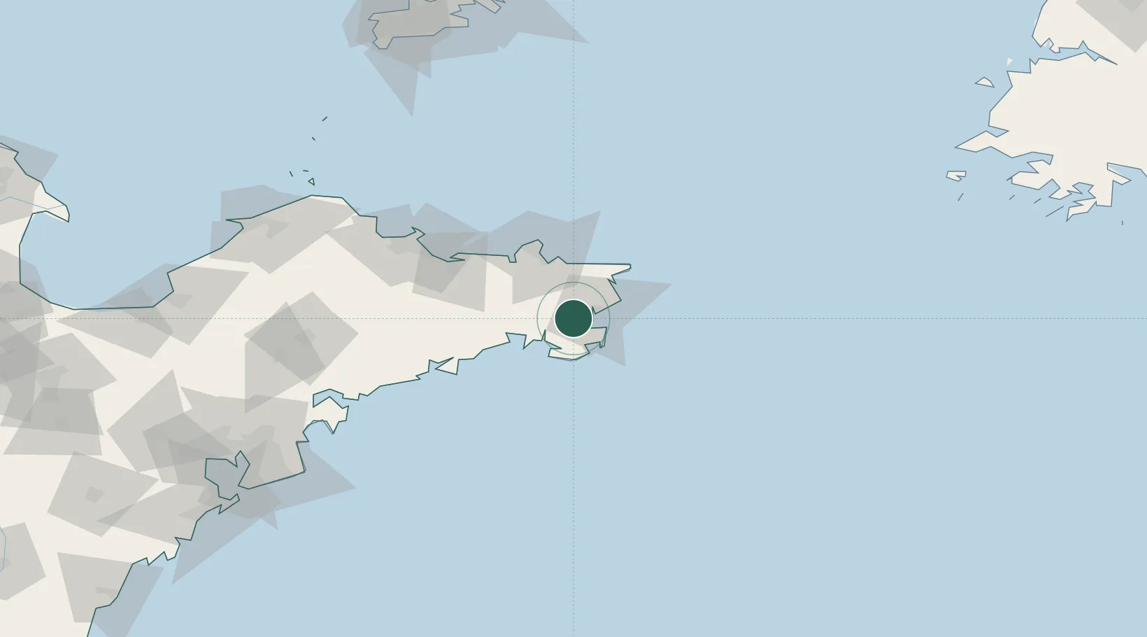
Nearby Logistics Neighbours

Cities
  1. 1Rongcheng9 km
  2. 2Wendeng28 km
  3. 3Weihai37 km
  4. 4Longyan Pt47 km
  5. 5Weihai Pt49 km
Nearest neighbours — logibook spatial index (haversine) over the source coordinates
Ports
  1. 1Weihai51 km
  2. 2Yantai94 km
  3. 3Penglai156 km
  4. 4Longkou Gang192 km
  5. 5Lushun212 km
Nearest neighbours — logibook spatial index (haversine) over the source coordinates
Airports
  1. 1Weihai Dashuibo Airport15 km
  2. 2Yantai Penglai International Airport136 km
  3. 3Laiyang Air Base156 km
  4. 4Qingdao Jiaodong International Airport216 km
  5. 5Dalian Zhoushuizi International Airport221 km
Nearest neighbours — logibook spatial index (haversine) over the source coordinates
Trade Zones
  1. 1Rongcheng Economic Development Zone12 km
  2. 2Weihai Export Processing Zone40 km
  3. 3Rushan Economic Development Zone73 km
  4. 4Yantai Export Processing Zone102 km
  5. 5Haiyang Economic Development Zone108 km
Nearest neighbours — logibook spatial index (haversine) over the source coordinates
DatabookThe Record of Consolidated Knowledge
China beyond logistics?
Browse databook

All Sources

LocationsUN/LOCODE
UN/LOCODE — free
Portsthe NGA World Port Index
Public domain (US gov)
AirportsOurAirports
Public domain
Trade Zonesthe World Bank SEZ database
CC BY 4.0
Trade ZonesOpen Zone Map
CC BY
← China locations