Large airport · China

Qingdao Jiaodong International AirportZSQD
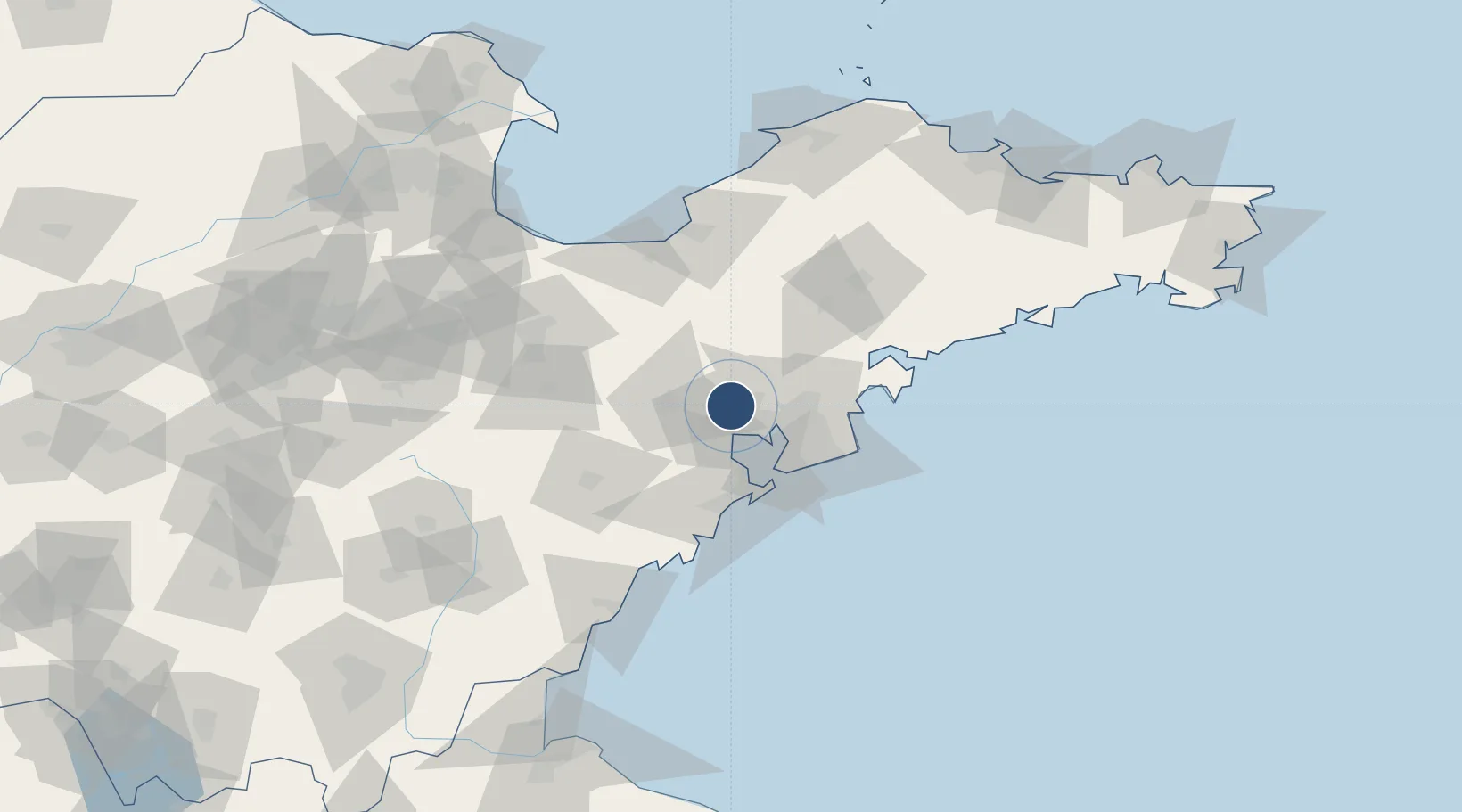
36.3620°, 120.0882°
11,811 ft
Longest runway
2
Runways
30 ft
Elevation

Runway & Layout

Qingdao Jiaodong International Airport runway & taxiway layout
Runway & taxiway layout — OpenStreetMap (ODbL) / OurAirports

Runways · 2

RunwayDimensions SurfaceTrue headingLit
16/34 11,811 × 197ft Concrete
17/35 11,811 × 148ft Concrete
OurAirports

Airport Specifications

IATA code
TAO
OurAirports
ICAO code
ZSQD
OurAirports
Airport class
Large airport
OurAirports
Scheduled service
Yes
OurAirports
Runway surface
Concrete
OurAirports
Served city
Qingdao (Jiaozhou)
OurAirports

Location

Location of ZSQD
Natural Earth 10m (public domain) · Shandong · ZSQD · 36.36, 120.09GoogleOSMYandex

Nearby Logistics Neighbours

Airports
  1. 1Jiaozhou Jiaocheng Air Base7 km
  2. 2Zhucheng Air Base69 km
  3. 3Laiyang Air Base81 km
  4. 4Weifang Nanyuan Airport92 km
  5. 5Rizhao Shanzihe Airport127 km
Nearest neighbours — logibook spatial index (haversine) over the source coordinates
Cities
  1. 1Jiaozhou12 km
  2. 2Gaomi30 km
  3. 3Qianwan37 km
  4. 4Qingdao39 km
  5. 5Xianlang42 km
Nearest neighbours — logibook spatial index (haversine) over the source coordinates
Ports
  1. 1Qingdao Gang40 km
  2. 2Rizhao119 km
  3. 3Longkou Gang142 km
  4. 4Lanshan157 km
  5. 5Penglai175 km
Nearest neighbours — logibook spatial index (haversine) over the source coordinates
Trade Zones
  1. 1Gaomi Economic Development Zone26 km
  2. 2Qingdao Huanhai Economic Development Zone29 km
  3. 3Qingdao Chengyang Industrial Park38 km
  4. 4Qingdao Export Processing Zone40 km
  5. 5Jimo Economic Development Zone41 km
Nearest neighbours — logibook spatial index (haversine) over the source coordinates
DatabookThe Record of Consolidated Knowledge
China beyond logistics?
Browse databook

All Sources

AirportsOurAirports
Public domain
Portsthe NGA World Port Index
Public domain (US gov)
LocationsUN/LOCODE
UN/LOCODE — free
Trade Zonesthe World Bank SEZ database
CC BY 4.0
Trade ZonesOpen Zone Map
CC BY
InfrastructureOpenStreetMap
ODbL 1.0
← China airports