Transport Functions
Port
Road
Hub Profile
Place type
District seat
Region
Hebei
Time zone
Asia/Shanghai
Elevation
18 m
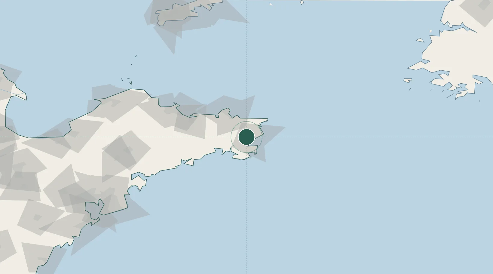
Location
Nearby Logistics Neighbours
Cities
- 1Shidao Pt9 km
- 2Wendeng30 km
- 3Weihai33 km
- 4Longyan Pt39 km
- 5Weihai Pt43 km
Ports
- 1Weihai46 km
- 2Yantai94 km
- 3Penglai156 km
- 4Longkou Gang193 km
- 5Dalian206 km
Airports
- 1Weihai Dashuibo Airport14 km
- 2Yantai Penglai International Airport136 km
- 3Laiyang Air Base160 km
- 4Dalian Zhoushuizi International Airport215 km
- 5Tuchengzi Air Base220 km
Trade Zones
DatabookThe Record of Consolidated Knowledge
China beyond logistics?