UN/LOCODE hub · China
CNWEG

Weihai Pt

37.5000°, 122.1667°
1
Transport functions

Transport Functions

Port
Weihai Pt is also a profiled seaport →
UN/LOCODE

Hub Profile

Region
SD
GeoNames

Location

Location of CNWEG
Natural Earth 10m (public domain) · SD · CNWEG · 37.50, 122.17GoogleOSMYandex

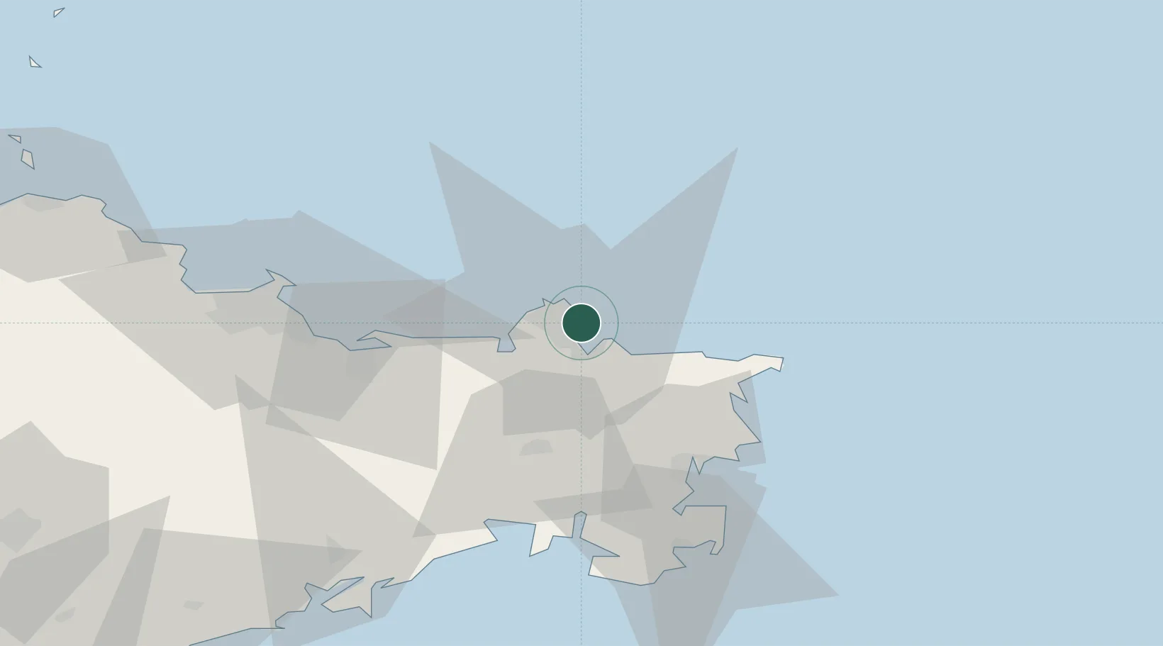
Nearby Logistics Neighbours

Cities
  1. 1Weihai15 km
  2. 2Wendeng37 km
  3. 3Longyan Pt42 km
  4. 4Rongcheng43 km
  5. 5Shidao Pt49 km
Nearest neighbours — logibook spatial index (haversine) over the source coordinates
Ports
  1. 1Yantai63 km
  2. 2Penglai123 km
  3. 3Dalian164 km
  4. 4Lushun164 km
  5. 5Longkou Gang167 km
Nearest neighbours — logibook spatial index (haversine) over the source coordinates
Airports
  1. 1Weihai Dashuibo Airport35 km
  2. 2Yantai Penglai International Airport106 km
  3. 3Laiyang Air Base152 km
  4. 4Dalian Zhoushuizi International Airport172 km
  5. 5Tuchengzi Air Base177 km
Nearest neighbours — logibook spatial index (haversine) over the source coordinates
Trade Zones
  1. 1Weihai Export Processing Zone10 km
  2. 2Rongcheng Economic Development Zone47 km
  3. 3Yantai Export Processing Zone70 km
  4. 4Rushan Economic Development Zone86 km
  5. 5Qixia Economic Development Zone99 km
Nearest neighbours — logibook spatial index (haversine) over the source coordinates
DatabookThe Record of Consolidated Knowledge
China beyond logistics?
Browse databook

All Sources

LocationsUN/LOCODE
UN/LOCODE — free
Portsthe NGA World Port Index
Public domain (US gov)
AirportsOurAirports
Public domain
Trade Zonesthe World Bank SEZ database
CC BY 4.0
Trade ZonesOpen Zone Map
CC BY
← China locations