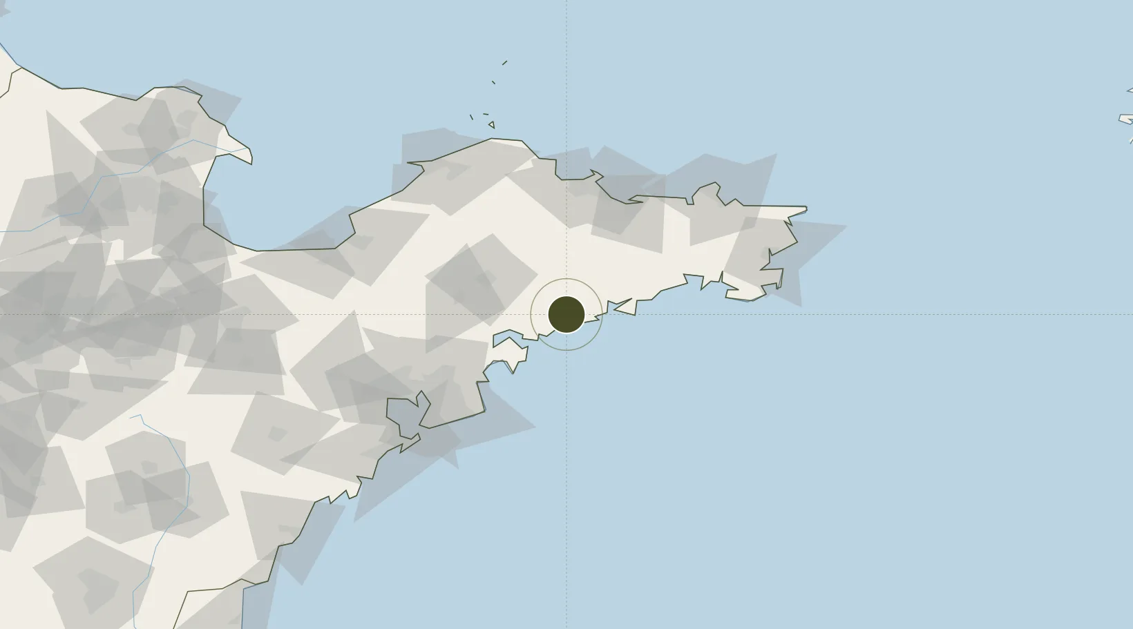
Export Processing Zone · China

Haiyang Economic Development Zone Active

36.7450°, 121.2021°
188,684 ha
Zone area
92.2 km
Nearest port
59.6 km
Nearest airport

Gateway access

Nearest neighbours — logibook spatial index (haversine) over the source coordinates

Zone profile

Zone type
Export Processing Zone
Open Zone Map
Region
Shandong
Open Zone Map
Status
Active
Open Zone Map
Management
Public
Open Zone Map
Operator
Working Committee of Haiyang Economic Development Zone
Open Zone Map
Legal framework
Haiyang Regional Development Plan
Open Zone Map

Location

Location of ozm-1485
Natural Earth 10m (public domain) · Shandong · ozm-1485 · 36.75, 121.20GoogleOSMYandex

Nearby Logistics Neighbours

Ports
  1. 1Yantai92 km
  2. 2Qingdao Gang115 km
  3. 3Weihai116 km
  4. 4Penglai124 km
  5. 5Longkou Gang128 km
Nearest neighbours — logibook spatial index (haversine) over the source coordinates
Airports
  1. 1Laiyang Air Base60 km
  2. 2Yantai Penglai International Airport104 km
  3. 3Weihai Dashuibo Airport104 km
  4. 4Qingdao Jiaodong International Airport108 km
  5. 5Jiaozhou Jiaocheng Air Base115 km
Nearest neighbours — logibook spatial index (haversine) over the source coordinates
Cities
  1. 1Fengcheng6 km
  2. 2Laiyang47 km
  3. 3Nudao50 km
  4. 4Aoshanwei65 km
  5. 5Wendeng90 km
Nearest neighbours — logibook spatial index (haversine) over the source coordinates
Trade Zones
  1. 1Rushan Economic Development Zone36 km
  2. 2Laiyang Economic Development Zone56 km
  3. 3Jimo Economic Development Zone69 km
  4. 4Qingdao Chengyang Industrial Park78 km
  5. 5Qixia Economic Development Zone83 km
Nearest neighbours — logibook spatial index (haversine) over the source coordinates
DatabookThe Record of Consolidated Knowledge
China beyond logistics?
Browse databook

All Sources

Trade ZonesOpen Zone Map
CC BY
Portsthe NGA World Port Index
Public domain (US gov)
AirportsOurAirports
Public domain
LocationsUN/LOCODE
UN/LOCODE — free
← China trade zones