UN/LOCODE hub · China
CNWEI
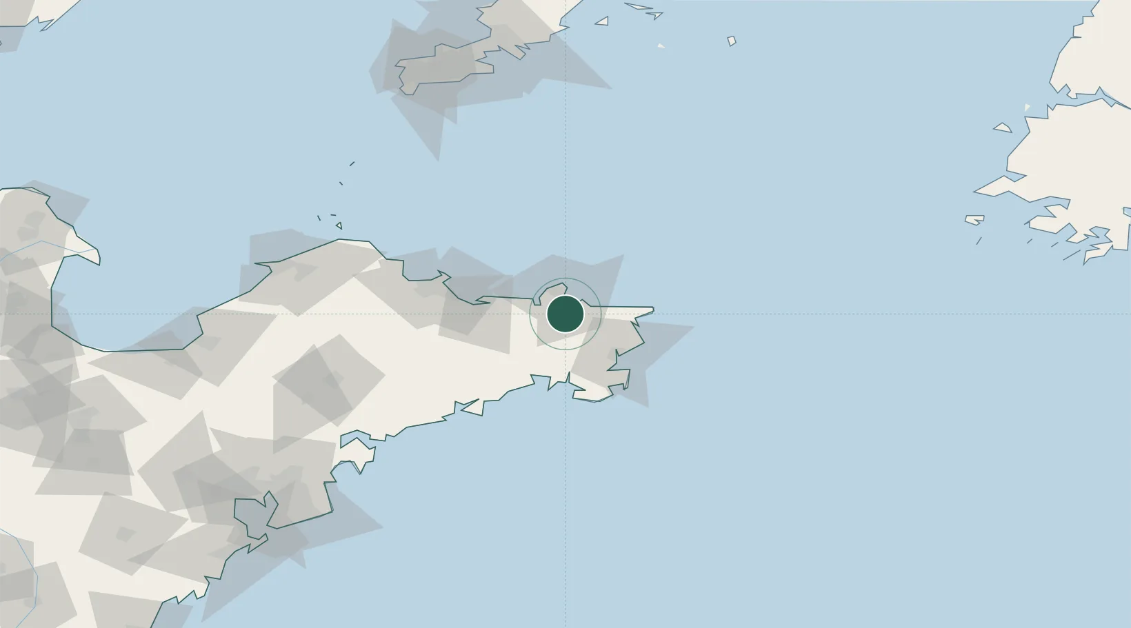
Weihai
37.3708°, 122.1405°
844,310
Population
3
Transport functions
1
Container terminals
Transport Functions
Port
Airport
Postal
Hub Profile
Place type
Provincial seat
Region
Shandong
Population
844,310
Time zone
Asia/Shanghai
Elevation
14 m
Logistics facilities
11
Container terminals
1
Location
Nearby Logistics Neighbours
Cities
- 1Weihai Pt15 km
- 2Wendeng22 km
- 3Rongcheng33 km
- 4Shidao Pt37 km
- 5Longyan Pt44 km
Ports
- 1Weihai15 km
- 2Yantai64 km
- 3Penglai125 km
- 4Longkou Gang166 km
- 5Lushun175 km
Airports
- 1Weihai Dashuibo Airport22 km
- 2Yantai Penglai International Airport107 km
- 3Laiyang Air Base145 km
- 4Dalian Zhoushuizi International Airport185 km
- 5Tuchengzi Air Base189 km
Trade Zones
DatabookThe Record of Consolidated Knowledge
China beyond logistics?