About
Methodology
Sources
Licensing
English
EN
English
TR
Türkçe
DE
Deutsch
FR
Français
ES
Español
IT
Italiano
PT
Português
NL
Nederlands
PL
Polski
RU
Русский
UK
Українська
CS
Čeština
RO
Română
EL
Ελληνικά
BG
Български
AR
العربية
FA
فارسی
UR
اردو
HI
हिन्दी
BN
বাংলা
ID
Bahasa Indonesia
VI
Tiếng Việt
ZH
中文
JA
日本語
KO
한국어
logibook
/
Countries
/
China
/
Locations
/
Longyan Pt
UN/LOCODE hub ·
China
CN
LGY
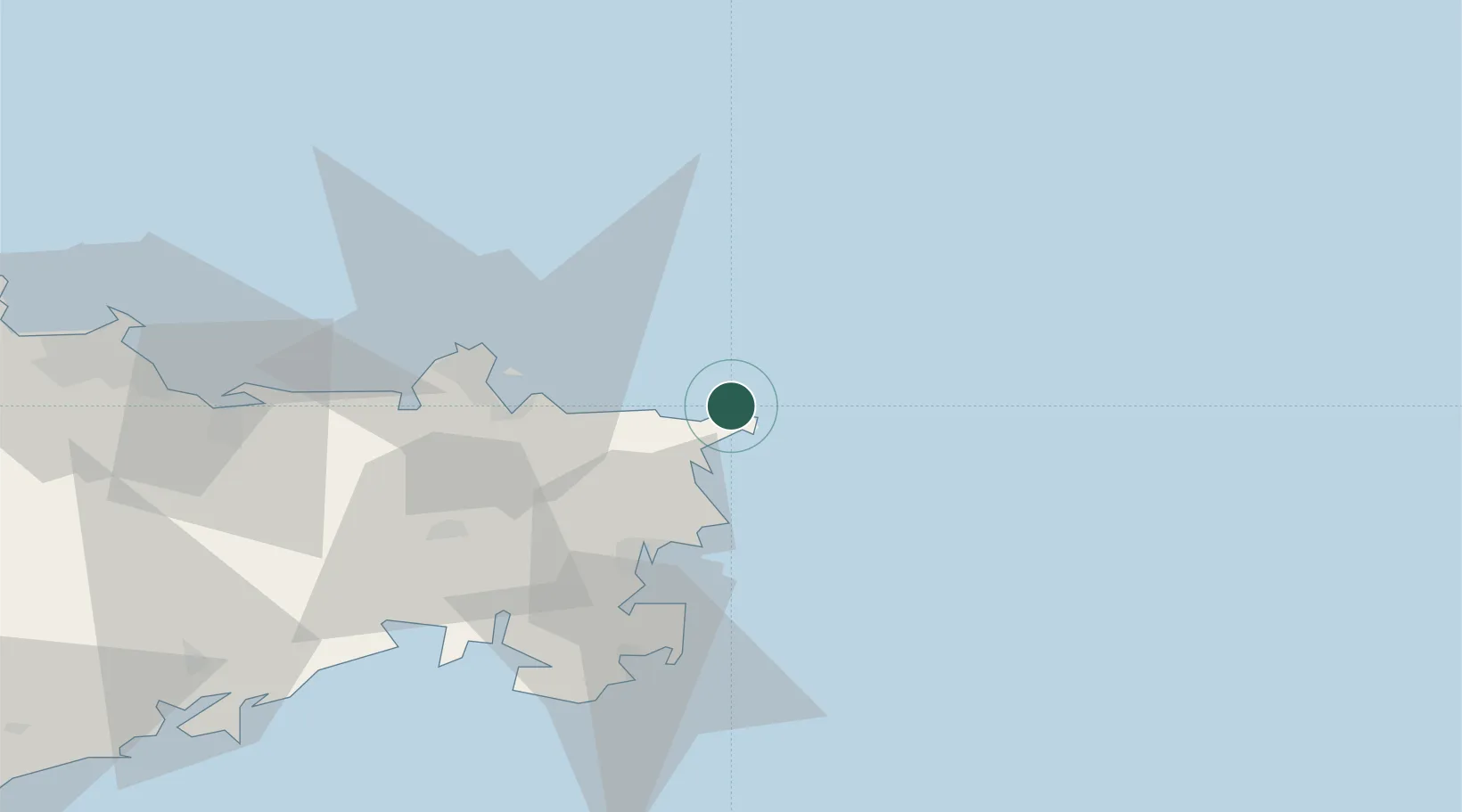
Longyan Pt
37.4333°, 122.6333°
1
Transport functions
Transport Functions
Port
UN/LOCODE
Hub Profile
Region
SD
GeoNames
Location
Natural Earth 10m (public domain) · SD · CNLGY · 37.43, 122.63
Google ↗
OSM ↗
Yandex ↗
Nearby Logistics Neighbours
Cities
1
Rongcheng
39 km
2
Weihai Pt
42 km
3
Weihai
44 km
4
Shidao Pt
47 km
5
Wendeng
59 km
Nearest neighbours — logibook spatial index (haversine) over the source coordinates
Ports
1
Weihai
48 km
2
Yantai
105 km
3
Penglai
164 km
4
Dalian
185 km
5
Lushun
193 km
Nearest neighbours — logibook spatial index (haversine) over the source coordinates
Airports
1
Weihai Dashuibo Airport
45 km
2
Yantai Penglai International Airport
148 km
3
Laiyang Air Base
188 km
4
Dalian Zhoushuizi International Airport
195 km
5
Changhai Dachangshandao Airport
204 km
Nearest neighbours — logibook spatial index (haversine) over the source coordinates
Trade Zones
1
Rongcheng Economic Development Zone
36 km
2
Weihai Export Processing Zone
42 km
3
Yantai Export Processing Zone
112 km
4
Rushan Economic Development Zone
113 km
5
Qixia Economic Development Zone
140 km
Nearest neighbours — logibook spatial index (haversine) over the source coordinates
Data
book
The Record of Consolidated Knowledge
China beyond logistics?
Browse databook
→
All Sources
Locations
UN/LOCODE
UN/LOCODE — free
↗
Ports
the NGA World Port Index
Public domain (US gov)
↗
Airports
OurAirports
Public domain
↗
Trade Zones
the World Bank SEZ database
CC BY 4.0
↗
Trade Zones
Open Zone Map
CC BY
↗
← China locations