Runway & Layout

Airport Specifications
Airport class
Medium airport
Scheduled service
No
Served city
Yantai
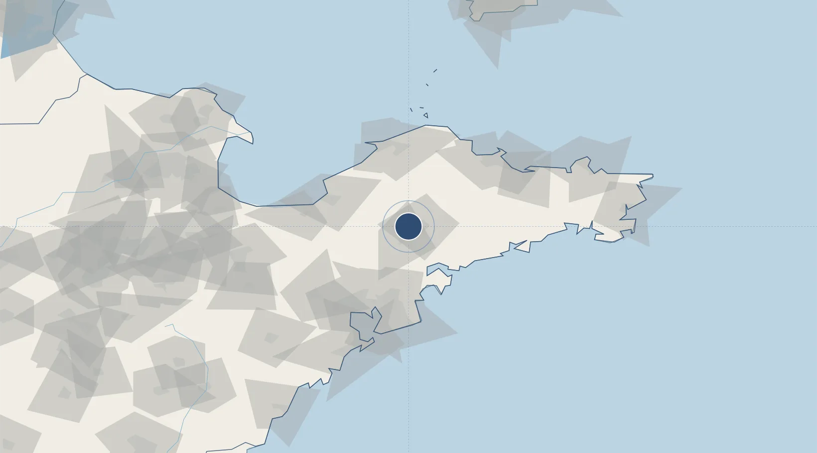
Location
Nearby Logistics Neighbours
Airports
Cities
- 1Laiyang13 km
- 2Laizhou Pt61 km
- 3Fengcheng64 km
- 4Aoshanwei69 km
- 5Nudao69 km
Ports
- 1Longkou Gang79 km
- 2Penglai97 km
- 3Yantai100 km
- 4Qingdao Gang107 km
- 5Weihai146 km
Trade Zones
DatabookThe Record of Consolidated Knowledge
China beyond logistics?