Large airport · China

Dalian Zhoushuizi International AirportZYTL
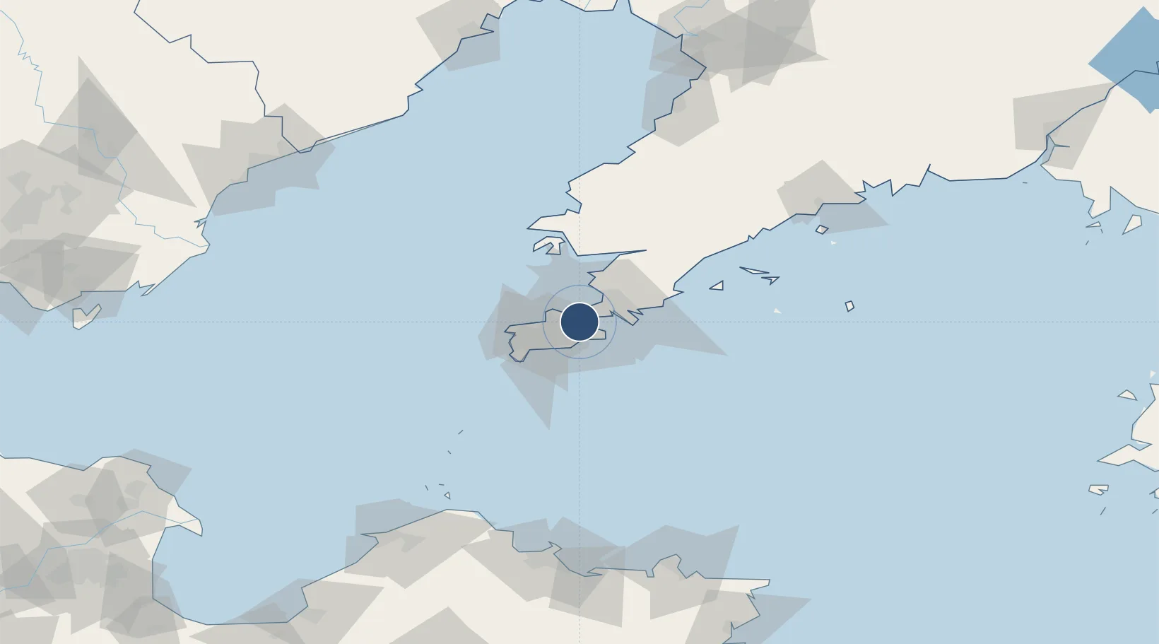
38.9657°, 121.5385°
10,827 ft
Longest runway
1
Runways
107 ft
Elevation

Runway & Layout

Dalian Zhoushuizi International Airport runway & taxiway layout
Runway & taxiway layout — OpenStreetMap (ODbL) / OurAirports

Radio Frequencies

ATIS
126.65 MHz
TWR
118.25 MHz
DALIAN TWR
APP
123.85 MHz
DALIAN APP
OurAirports

Navaids

DLC VOR-DME Dalian 112.30 MHz
FC NDB Fujiazhuang 414 kHz
OurAirports

Runways · 1

RunwayDimensions SurfaceTrue headingLit
10/28 10,827 × 148ft Concrete 096°
OurAirports

Airport Specifications

IATA code
DLC
OurAirports
ICAO code
ZYTL
OurAirports
Airport class
Large airport
OurAirports
Scheduled service
Yes
OurAirports
Runway surface
Concrete
OurAirports
Served city
Dalian (Ganjingzi)
OurAirports

Location

Location of ZYTL
Natural Earth 10m (public domain) · Liaoning · ZYTL · 38.97, 121.54GoogleOSMYandex

Nearby Logistics Neighbours

Airports
  1. 1Tuchengzi Air Base27 km
  2. 2Sanshilipu Air Base41 km
  3. 3Pulandian Air Base68 km
  4. 4Laohutun Air Base81 km
  5. 5Changhai Dachangshandao Airport103 km
Nearest neighbours — logibook spatial index (haversine) over the source coordinates
Cities
  1. 1Dashihuagang9 km
  2. 2Dalian29 km
  3. 3Lushun New Pt44 km
  4. 4Sikuaishi96 km
  5. 5Songshu106 km
Nearest neighbours — logibook spatial index (haversine) over the source coordinates
Ports
  1. 1Dalian12 km
  2. 2Lushun32 km
  3. 3Penglai142 km
  4. 4Bayuquan156 km
  5. 5Yantai158 km
Nearest neighbours — logibook spatial index (haversine) over the source coordinates
Trade Zones
  1. 1Dalian Export Processing Zone29 km
  2. 2Pulandian Economic Development Zone63 km
  3. 3Wafangdian Bearing Industrial Park88 km
  4. 4Huayuankou Economic Zone117 km
  5. 5Dalian Circular Industry Economic Zone148 km
Nearest neighbours — logibook spatial index (haversine) over the source coordinates
DatabookThe Record of Consolidated Knowledge
China beyond logistics?
Browse databook

All Sources

AirportsOurAirports
Public domain
Portsthe NGA World Port Index
Public domain (US gov)
LocationsUN/LOCODE
UN/LOCODE — free
Trade Zonesthe World Bank SEZ database
CC BY 4.0
Trade ZonesOpen Zone Map
CC BY
InfrastructureOpenStreetMap
ODbL 1.0
← China airports