Diversified Zone · China

Longshan Industrial Concentration Zone Active
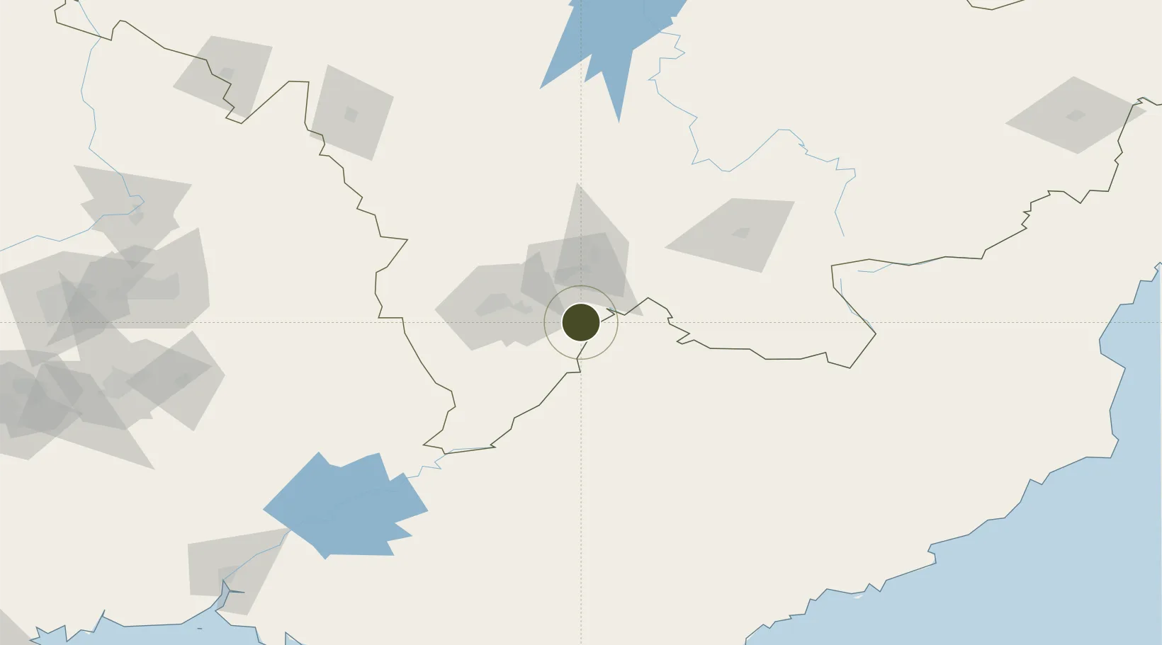
41.6516°, 126.5261°
1,270 ha
Zone area
222.1 km
Nearest port
79.1 km
Nearest airport

Gateway access

Nearest neighbours — logibook spatial index (haversine) over the source coordinates

Zone profile

Zone type
Diversified Zone
Open Zone Map
Region
Jilin
Open Zone Map
Status
Active
Open Zone Map
Management
Public
Open Zone Map
Operator
Longshan Industrial Concentration ZoneManagement Committee
Open Zone Map
Legal framework
It was established in September 2005
Open Zone Map

Location

Location of ozm-739
Natural Earth 10m (public domain) · Jilin · ozm-739 · 41.65, 126.53GoogleOSMYandex

Nearby Logistics Neighbours

Ports
  1. 1Hungnam222 km
  2. 2Kimch'aek249 km
  3. 3Ch'ongjin273 km
  4. 4Dandong286 km
  5. 5Wonsan287 km
Nearest neighbours — logibook spatial index (haversine) over the source coordinates
Airports
  1. 1Tonghua Sanyuanpu Airport79 km
  2. 2Changbaishan Airport100 km
  3. 3Changjin Air Force Base156 km
  4. 4Hwangsuwon Airbase174 km
  5. 5Toksan Air Base206 km
Nearest neighbours — logibook spatial index (haversine) over the source coordinates
Cities
  1. 1Qingshi32 km
  2. 2Baishan33 km
  3. 3Ji'an64 km
  4. 4Quanyang115 km
  5. 5Siping162 km
Nearest neighbours — logibook spatial index (haversine) over the source coordinates
Trade Zones
  1. 1Baishan Economic Development Zone33 km
  2. 2Manpo Economic Development Zone59 km
  3. 3Jian Economic Development Zone59 km
  4. 4Liuhe Industrial Concentration Zone95 km
  5. 5Wiwōn Industrial Development Zone98 km
Nearest neighbours — logibook spatial index (haversine) over the source coordinates
DatabookThe Record of Consolidated Knowledge
China beyond logistics?
Browse databook

All Sources

Trade ZonesOpen Zone Map
CC BY
Portsthe NGA World Port Index
Public domain (US gov)
AirportsOurAirports
Public domain
LocationsUN/LOCODE
UN/LOCODE — free
← China trade zones