Export Processing Zone · China

Baishan Economic Development Zone Active
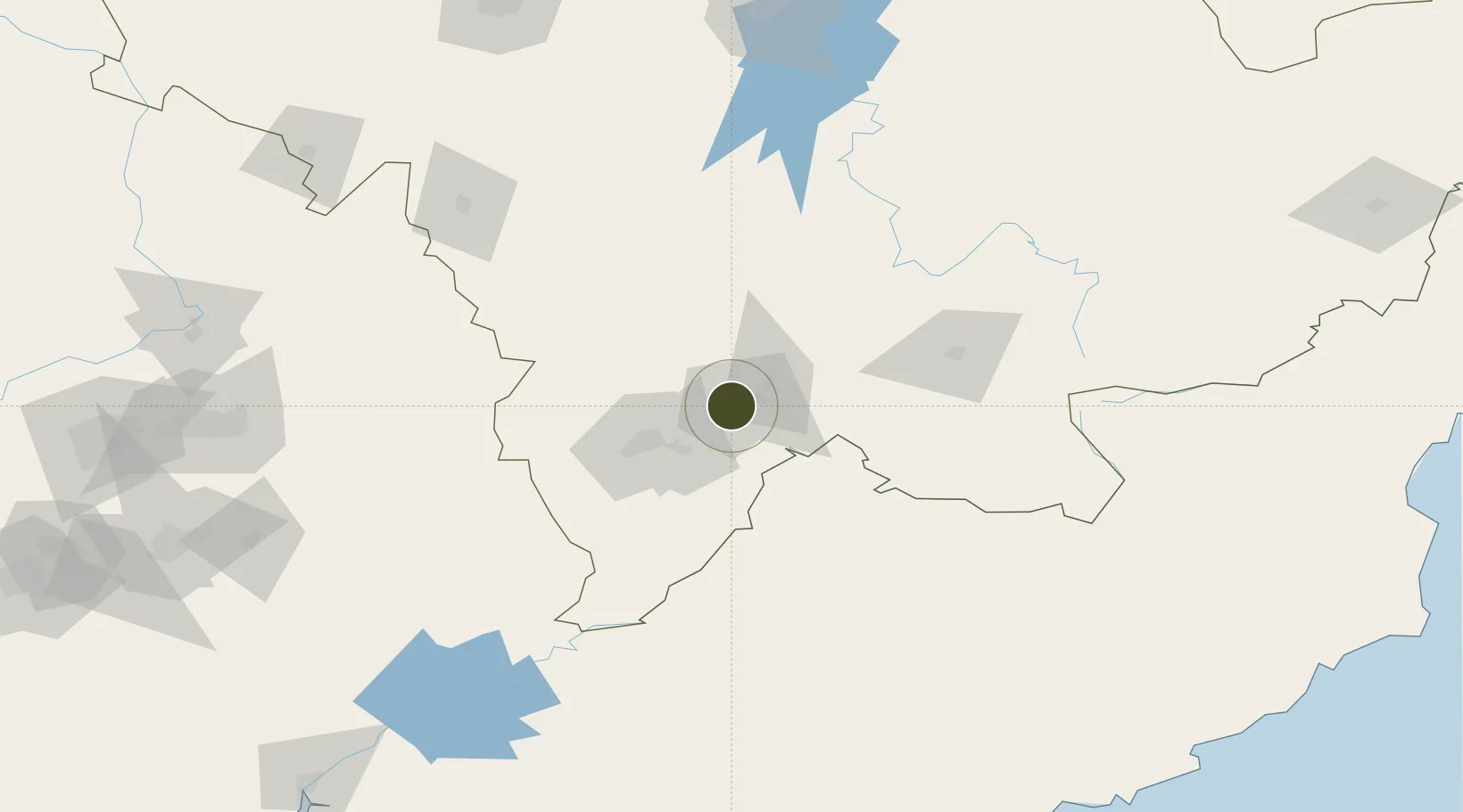
41.9385°, 126.4220°
10,070 ha
Zone area
254.7 km
Nearest port
58.2 km
Nearest airport

Gateway access

Nearest neighbours — logibook spatial index (haversine) over the source coordinates

Zone profile

Zone type
Export Processing Zone
Open Zone Map
Region
Jilin
Open Zone Map
Status
Active
Open Zone Map
Management
Public
Open Zone Map
Operator
Working Committee of Baishan Economic Development Zone
Open Zone Map
Legal framework
Spatial Planning of Baishan City (2020-2035)
Open Zone Map

Location

Location of ozm-1455
Natural Earth 10m (public domain) · Jilin · ozm-1455 · 41.94, 126.42GoogleOSMYandex

Nearby Logistics Neighbours

Ports
  1. 1Hungnam255 km
  2. 2Kimch'aek272 km
  3. 3Ch'ongjin282 km
  4. 4Dandong304 km
  5. 5Wonsan320 km
Nearest neighbours — logibook spatial index (haversine) over the source coordinates
Airports
  1. 1Tonghua Sanyuanpu Airport58 km
  2. 2Changbaishan Airport99 km
  3. 3Changjin Air Force Base189 km
  4. 4Hwangsuwon Airbase201 km
  5. 5Siping Air Base221 km
Nearest neighbours — logibook spatial index (haversine) over the source coordinates
Cities
  1. 1Baishan1 km
  2. 2Qingshi64 km
  3. 3Ji'an92 km
  4. 4Quanyang104 km
  5. 5Liaoyuan150 km
Nearest neighbours — logibook spatial index (haversine) over the source coordinates
Trade Zones
  1. 1Longshan Industrial Concentration Zone33 km
  2. 2Liuhe Industrial Concentration Zone67 km
  3. 3Jian Economic Development Zone87 km
  4. 4Manpo Economic Development Zone88 km
  5. 5Fusong Industrial Park91 km
Nearest neighbours — logibook spatial index (haversine) over the source coordinates
DatabookThe Record of Consolidated Knowledge
China beyond logistics?
Browse databook

All Sources

Trade ZonesOpen Zone Map
CC BY
Portsthe NGA World Port Index
Public domain (US gov)
AirportsOurAirports
Public domain
LocationsUN/LOCODE
UN/LOCODE — free
← China trade zones