Transport Functions
Rail
Road
Multimodal
Hub Profile
Place type
Provincial seat
Region
Jilin
Population
183,880
Time zone
Asia/Shanghai
Elevation
471 m
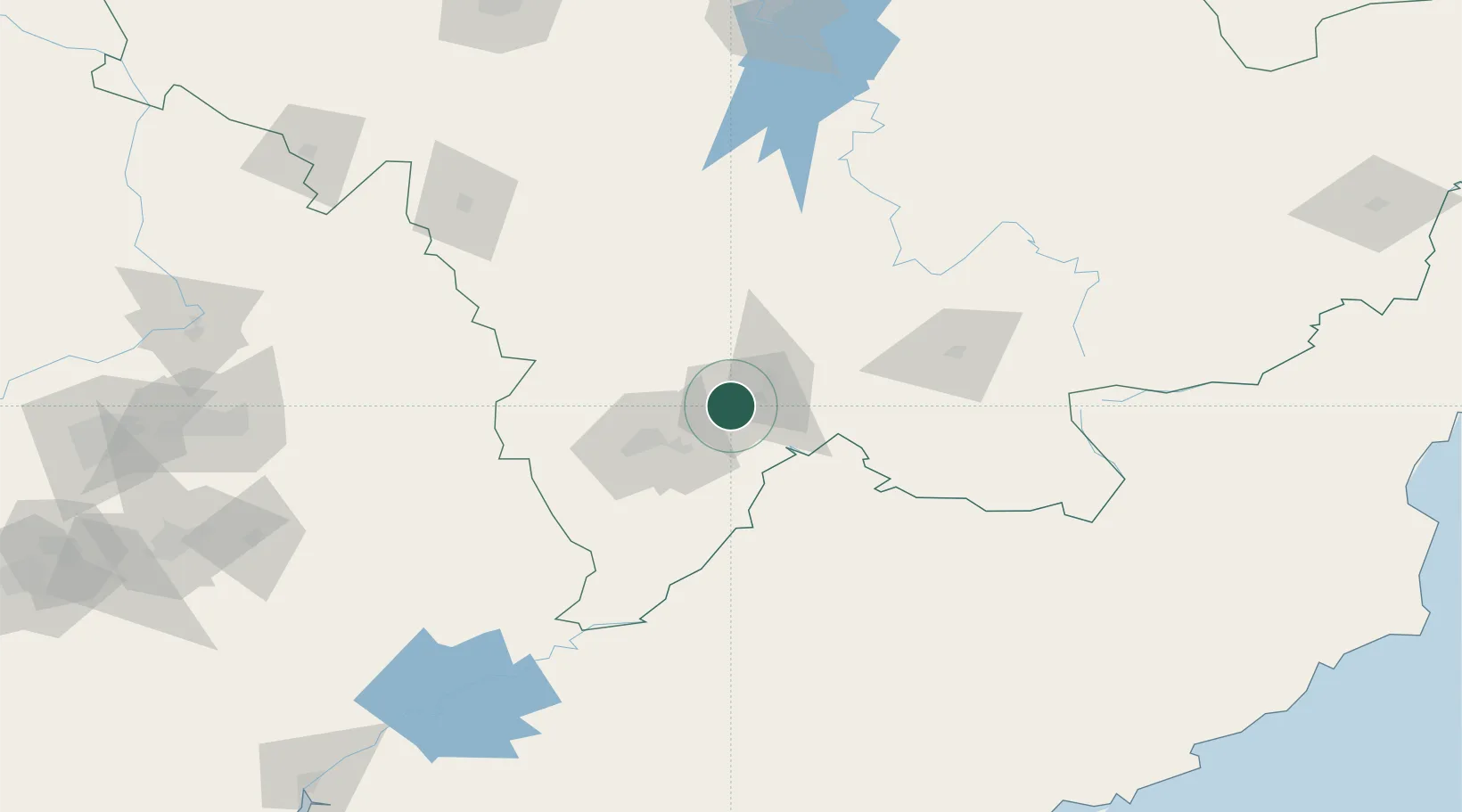
Location
Nearby Logistics Neighbours
Airports
- 1Tonghua Sanyuanpu Airport58 km
- 2Changbaishan Airport99 km
- 3Changjin Air Force Base188 km
- 4Hwangsuwon Airbase201 km
- 5Siping Air Base221 km
DatabookThe Record of Consolidated Knowledge
China beyond logistics?