Transport Functions
Port
Hub Profile
Place type
Local administrative seat
Region
Jilin
Time zone
Asia/Shanghai
Elevation
255 m
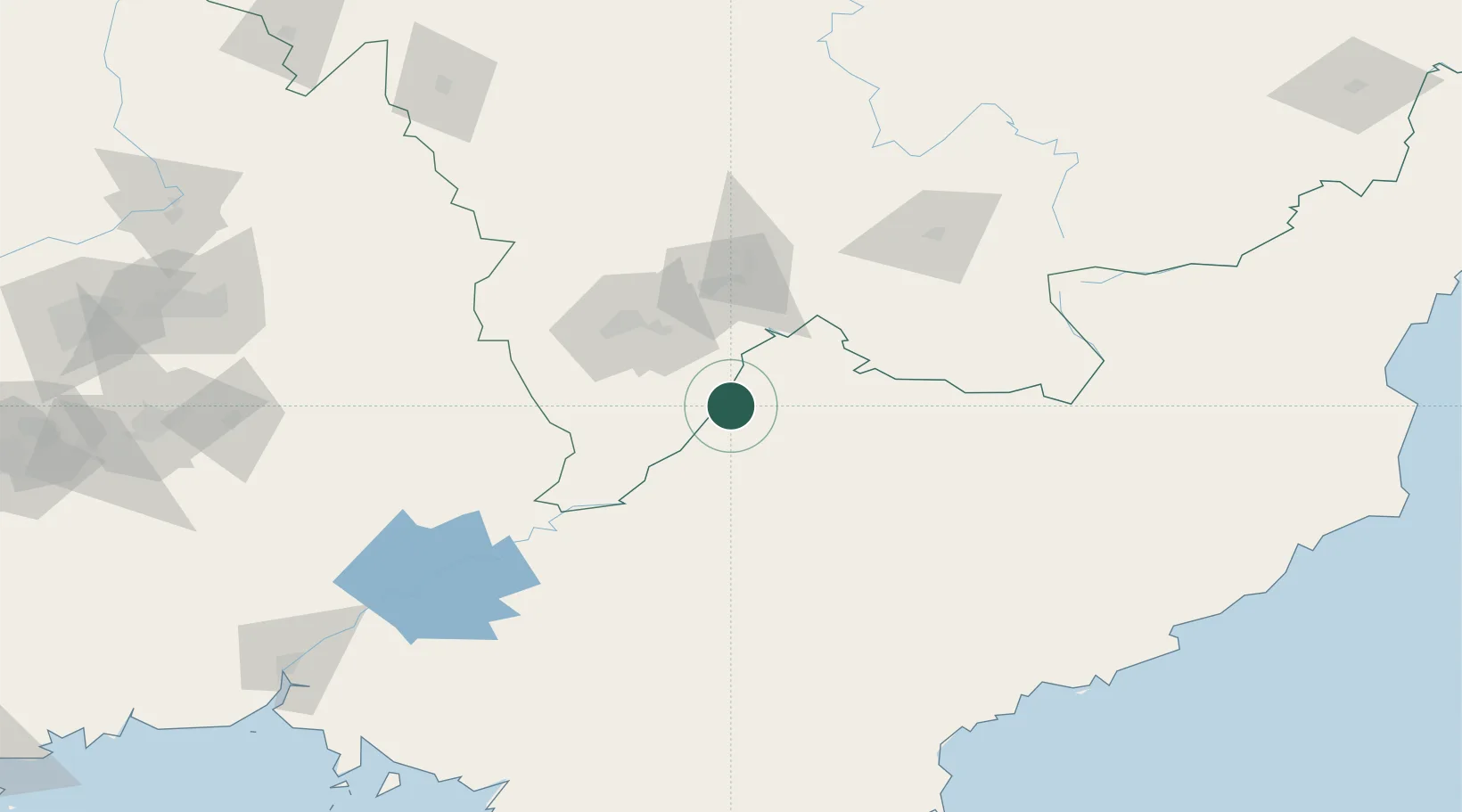
Location
Nearby Logistics Neighbours
Cities
- 1Ji'an38 km
- 2Baishan64 km
- 3Quanyang139 km
- 4Siping152 km
- 5Changdianhekou179 km
Airports
- 1Tonghua Sanyuanpu Airport100 km
- 2Changbaishan Airport119 km
- 3Changjin Air Force Base128 km
- 4Hwangsuwon Airbase157 km
- 5Toksan Air Base178 km
DatabookThe Record of Consolidated Knowledge
China beyond logistics?