Diversified Zone · China

Fusong Industrial Park Active
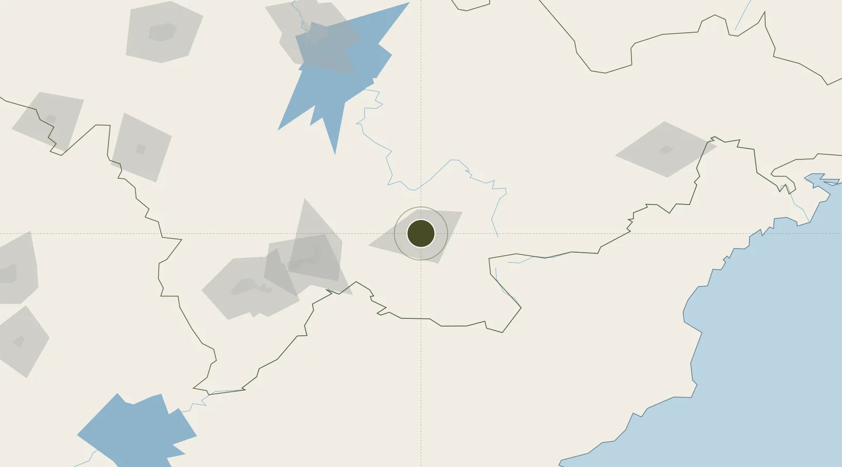
42.2017°, 127.4699°
1,077 ha
Zone area
199.9 km
Nearest port
18.5 km
Nearest airport

Gateway access

Nearest neighbours — logibook spatial index (haversine) over the source coordinates

Zone profile

Zone type
Diversified Zone
Open Zone Map
Region
Jilin
Open Zone Map
Status
Active
Open Zone Map
Management
Public
Open Zone Map
Operator
Fusong Industrial Park Management committee
Open Zone Map
Legal framework
On November 25, 2005, the Development Office of the Provincial Government was established for the record. On January 20, 2012, it was approved as a provincial economic and technological development zone by the provincial government
Open Zone Map

Location

Location of ozm-698
Natural Earth 10m (public domain) · Jilin · ozm-698 · 42.20, 127.47GoogleOSMYandex

Nearby Logistics Neighbours

Ports
  1. 1Ch'ongjin200 km
  2. 2Kimch'aek224 km
  3. 3Najin233 km
  4. 4Hungnam264 km
  5. 5Pos'yet278 km
Nearest neighbours — logibook spatial index (haversine) over the source coordinates
Airports
  1. 1Changbaishan Airport19 km
  2. 2Tonghua Sanyuanpu Airport144 km
  3. 3Hwangsuwon Airbase178 km
  4. 4Yanji Chaoyangchuan Airport179 km
  5. 5Orang (Chongjin) Airport200 km
Nearest neighbours — logibook spatial index (haversine) over the source coordinates
Cities
  1. 1Quanyang18 km
  2. 2Baishan92 km
  3. 3Qingshi122 km
  4. 4Ji'an160 km
  5. 5Liaoyuan207 km
Nearest neighbours — logibook spatial index (haversine) over the source coordinates
DatabookThe Record of Consolidated Knowledge
China beyond logistics?
Browse databook

All Sources

Trade ZonesOpen Zone Map
CC BY
Portsthe NGA World Port Index
Public domain (US gov)
AirportsOurAirports
Public domain
LocationsUN/LOCODE
UN/LOCODE — free
← China trade zones