Transport Functions
Rail
Multimodal
Hub Profile
Place type
District seat
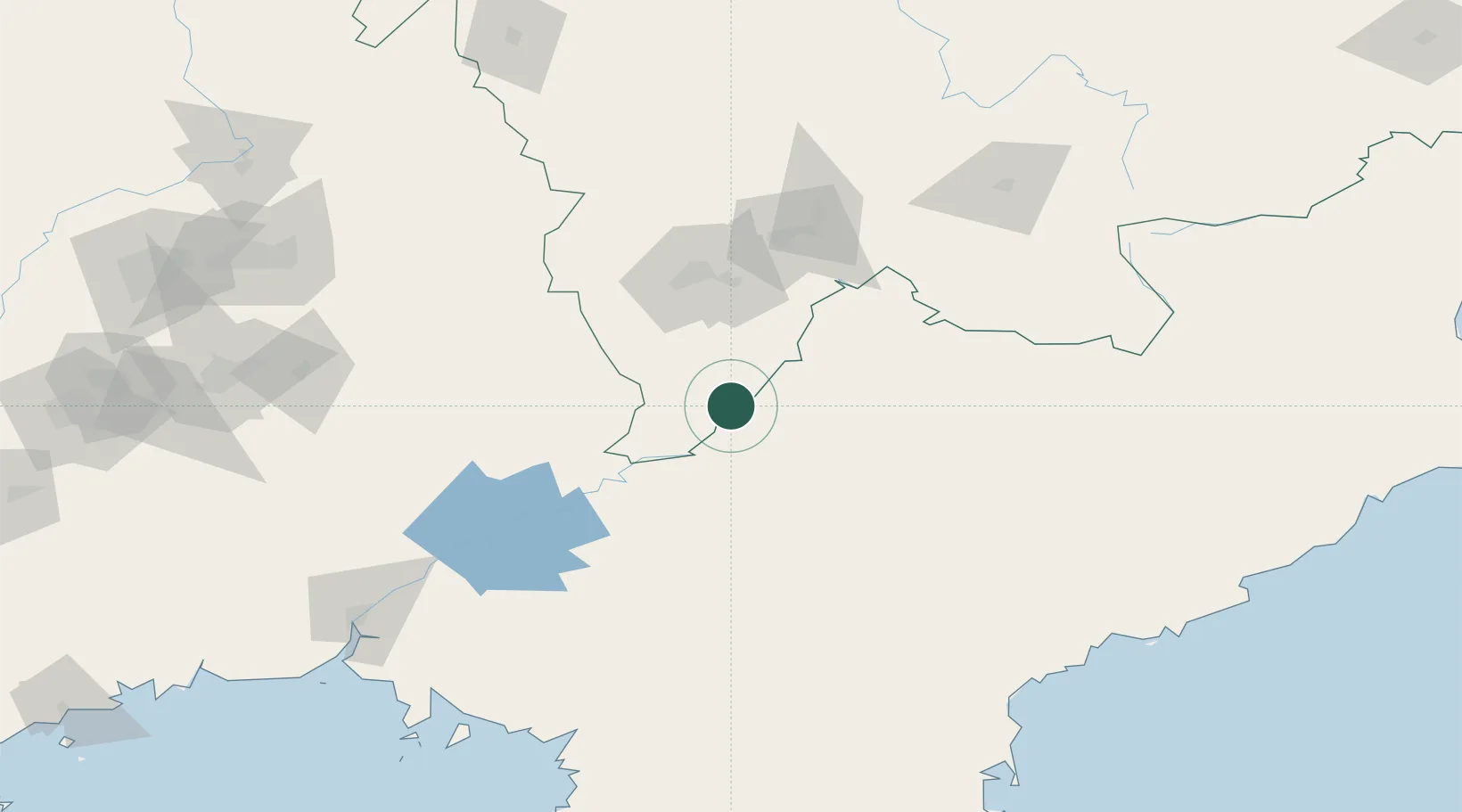
Region
Jilin
Time zone
Asia/Shanghai
Elevation
181 m
Location
Nearby Logistics Neighbours
Cities
- 1Qingshi38 km
- 2Baishan91 km
- 3Siping122 km
- 4Changdianhekou141 km
- 5Quanyang177 km
Airports
- 1Tonghua Sanyuanpu Airport108 km
- 2Changjin Air Force Base125 km
- 3Changbaishan Airport157 km
- 4Hwangsuwon Airbase173 km
- 5Toksan Air Base175 km
DatabookThe Record of Consolidated Knowledge
China beyond logistics?