Medium airport · North Korea

Hwangsuwon AirbaseKP-0035
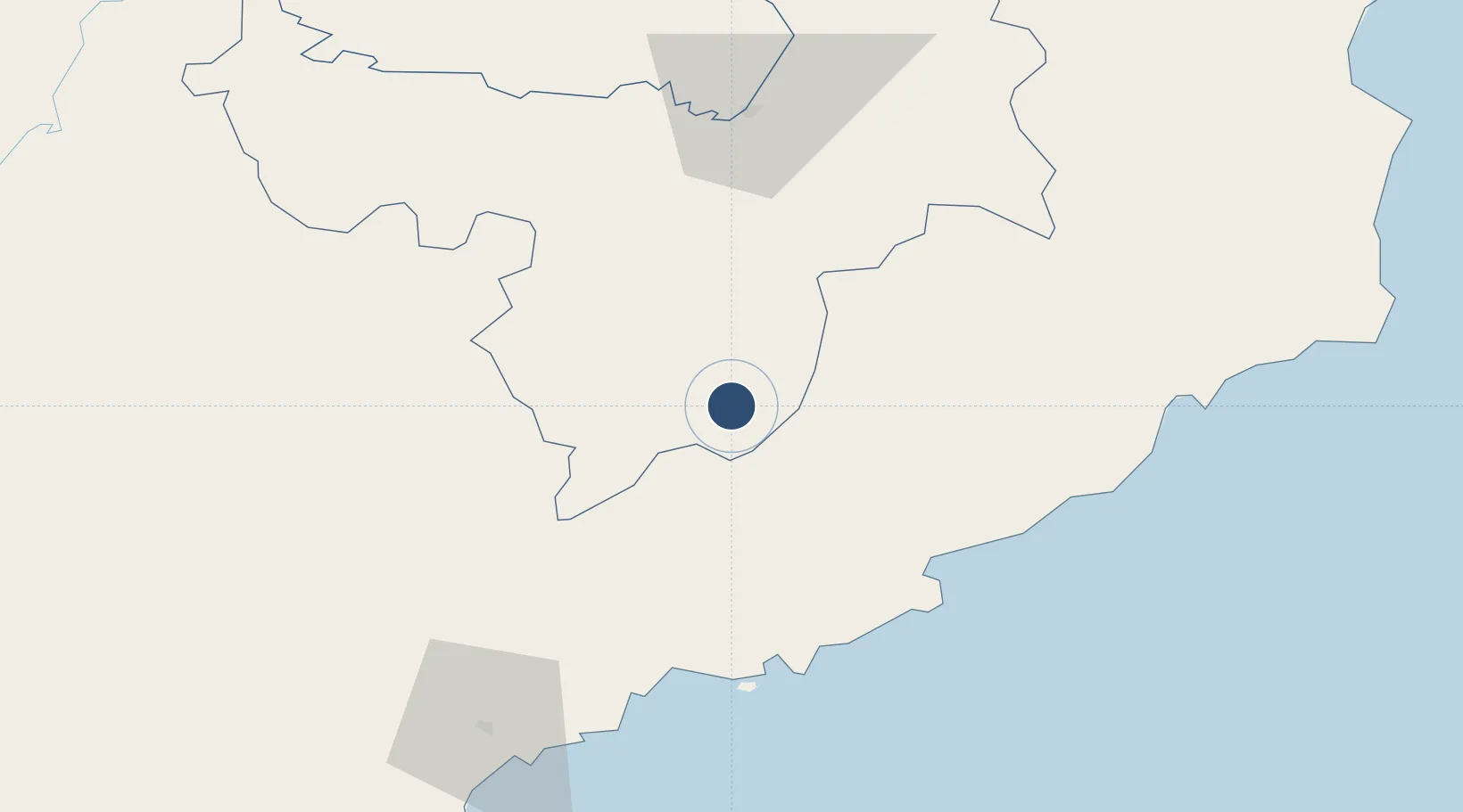
40.6814°, 128.1510°
9,500 ft
Longest runway
1
Runways
4,050 ft
Elevation

Runway & Layout

Hwangsuwon Airbase runway & taxiway layout
Runway & taxiway layout — OpenStreetMap (ODbL) / OurAirports

Runways · 1

RunwayDimensions SurfaceTrue headingLit
14/32 9,500 × 135ft Concrete 126°
OurAirports

Airport Specifications

Airport class
Medium airport
OurAirports
Scheduled service
No
OurAirports
Runway surface
Concrete
OurAirports
Served city
Kimhyonggwon
OurAirports

Location

Location of KP-0035
Natural Earth 10m (public domain) · Ryanggang · KP-0035 · 40.68, 128.15GoogleOSMYandex

Nearby Logistics Neighbours

Airports
  1. 1Riwon Airbase60 km
  2. 2Changjin Air Force Base83 km
  3. 3Toksan Air Base89 km
  4. 4Sondok Airport119 km
  5. 5Orang (Chongjin) Airport151 km
Nearest neighbours — logibook spatial index (haversine) over the source coordinates
Cities
  1. 1Riwon58 km
  2. 2Sinpo69 km
  3. 3Tanchon72 km
  4. 4Odaejin155 km
  5. 5Qingshi157 km
Nearest neighbours — logibook spatial index (haversine) over the source coordinates
Ports
  1. 1Kimch'aek89 km
  2. 2Hungnam105 km
  3. 3Wonsan179 km
  4. 4Ch'ongjin184 km
  5. 5Najin249 km
Nearest neighbours — logibook spatial index (haversine) over the source coordinates
Trade Zones
  1. 1Pukchong Agricultural Development Zone50 km
  2. 2Hyesan Economic Development Zone80 km
  3. 3Changbai Economic Development Zone83 km
  4. 4Hō­ngnam Industrial Development Zone109 km
  5. 5Ŏrang Agricultural Development Zone153 km
Nearest neighbours — logibook spatial index (haversine) over the source coordinates
DatabookThe Record of Consolidated Knowledge
North Korea beyond logistics?
Browse databook

All Sources

AirportsOurAirports
Public domain
Portsthe NGA World Port Index
Public domain (US gov)
LocationsUN/LOCODE
UN/LOCODE — free
Trade Zonesthe World Bank SEZ database
CC BY 4.0
Trade ZonesOpen Zone Map
CC BY
InfrastructureOpenStreetMap
ODbL 1.0
← North Korea airports