Medium airport · China

Tonghua Sanyuanpu AirportZYTN
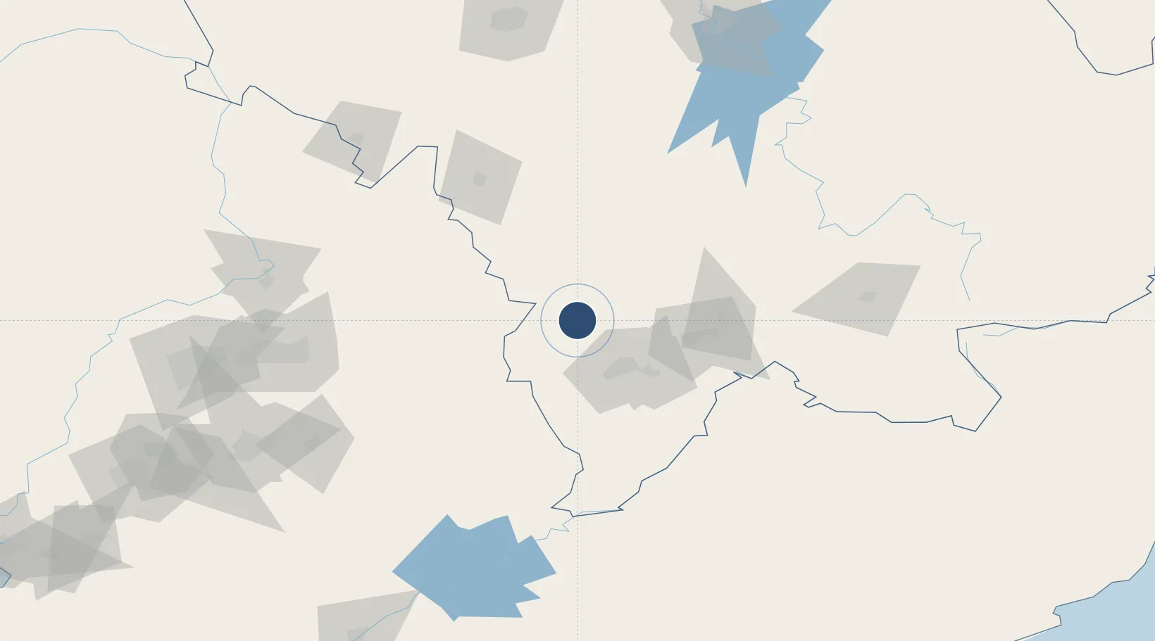
42.0484°, 125.7340°
7,546 ft
Longest runway
1
Runways
1,347 ft
Elevation

Runway & Layout

Tonghua Sanyuanpu Airport runway & taxiway layout
Runway & taxiway layout — OpenStreetMap (ODbL) / OurAirports

Runways · 1

RunwayDimensions SurfaceTrue headingLit
05/23 7,546 × —ft
OurAirports

Airport Specifications

IATA code
TNH
OurAirports
ICAO code
ZYTN
OurAirports
Airport class
Medium airport
OurAirports
Scheduled service
Yes
OurAirports
Served city
Tonghua
OurAirports

Location

Location of ZYTN
Natural Earth 10m (public domain) · Jilin · ZYTN · 42.05, 125.73GoogleOSMYandex

Nearby Logistics Neighbours

Airports
  1. 1Kaiyuan Air Base154 km
  2. 2Changbaishan Airport154 km
  3. 3Siping Air Base171 km
  4. 4Gongzhuling Air Base182 km
  5. 5Shenyang Dongta Airport188 km
Nearest neighbours — logibook spatial index (haversine) over the source coordinates
Cities
  1. 1Baishan58 km
  2. 2Qingshi100 km
  3. 3Liaoyuan107 km
  4. 4Ji'an108 km
  5. 5Siping136 km
Nearest neighbours — logibook spatial index (haversine) over the source coordinates
Ports
  1. 1Dandong282 km
  2. 2Hungnam293 km
  3. 3Kimch'aek328 km
  4. 4Yingkou329 km
  5. 5Ch'ongjin339 km
Nearest neighbours — logibook spatial index (haversine) over the source coordinates
Trade Zones
  1. 1Liuhe Industrial Concentration Zone28 km
  2. 2Baishan Economic Development Zone58 km
  3. 3Meihekou Economic Development Zone59 km
  4. 4Dongfeng Economic Development Zone75 km
  5. 5Longshan Industrial Concentration Zone79 km
Nearest neighbours — logibook spatial index (haversine) over the source coordinates
DatabookThe Record of Consolidated Knowledge
China beyond logistics?
Browse databook

All Sources

AirportsOurAirports
Public domain
Portsthe NGA World Port Index
Public domain (US gov)
LocationsUN/LOCODE
UN/LOCODE — free
Trade Zonesthe World Bank SEZ database
CC BY 4.0
Trade ZonesOpen Zone Map
CC BY
InfrastructureOpenStreetMap
ODbL 1.0
← China airports